
Related Images


Download:
| Tiny | 89x128 | View | Download |
| Small | 178x256 | View | Download |
| Medium | 356x512 | View | Download |
| Large | 712x1024 | View | Download |
| Original png | 2565x3688 | View | Download |
| Original as jpg | 2565x3688 | View | Download |
This image was acquired from
wikimedia. It was marked as Public Domain or CC0 and is free to use. To verify, go to the source and check the information there.
Looking for more info about this image?
Try a Google Reverse Image Search for it.
Try a Google Reverse Image Search for it.
Keywords from Image Description:
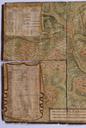
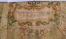
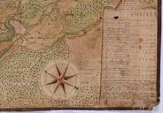
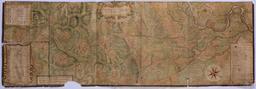
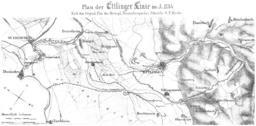
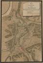
Plan Ettlingen. Karte von Ettlingen Germany Plan und Situation der Gegend Etlingen alwo sich Rm Kayserl und Hoher Aliirten Reichs Armee von Aug bis ultimo Novembr postiret gehalten nebst der im Ausgange Septembr ausgesteckten auch gefertigten Linie vom Sonnenberg bey Etlingweyer an bis Daxlanden am alten Rhein Darstellung Ettlingen