Related Images


Download:
| Tiny | 117x128 | View | Download |
| Small | 235x256 | View | Download |
| Medium | 471x512 | View | Download |
| Large | 943x1024 | View | Download |
| Original | 1339x1454 | View | Download |
This image was acquired from
wikimedia. It was marked as Public Domain or CC0 and is free to use. To verify, go to the source and check the information there.
Looking for more info about this image?
Try a Google Reverse Image Search for it.
Try a Google Reverse Image Search for it.
Keywords from Image Description:
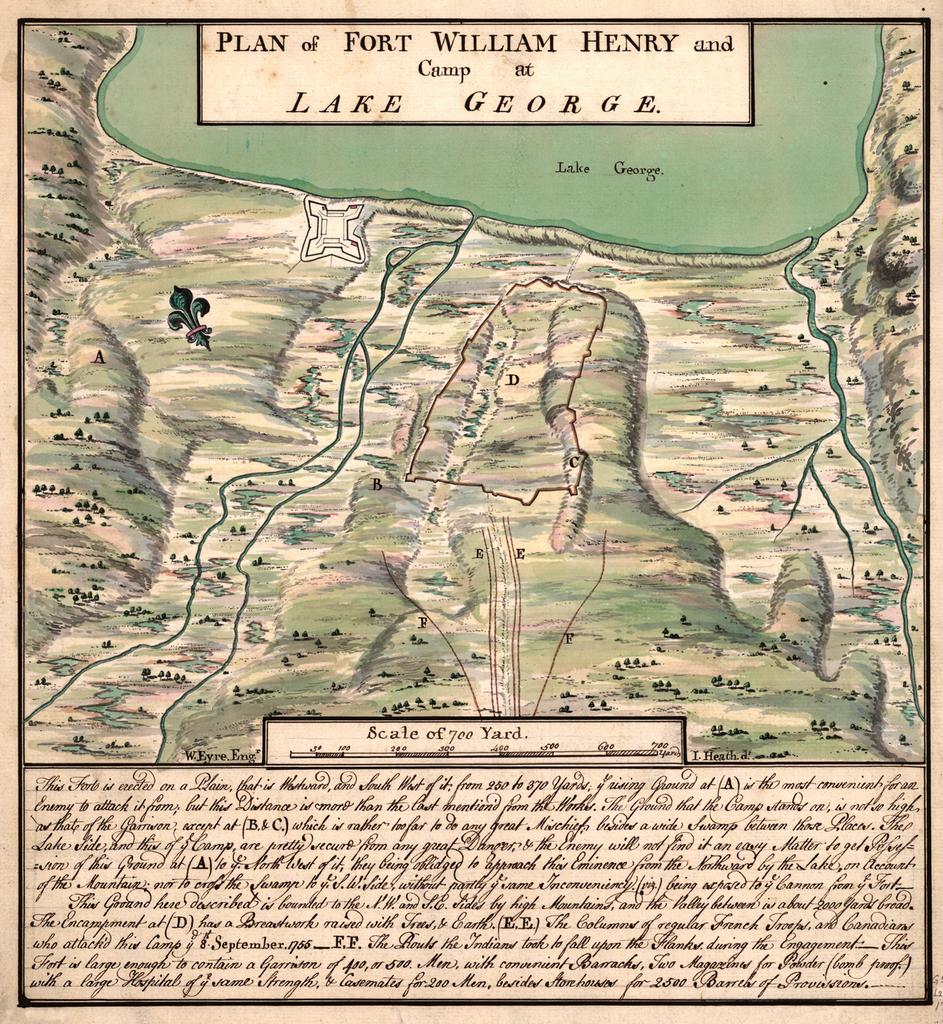
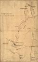
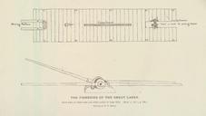
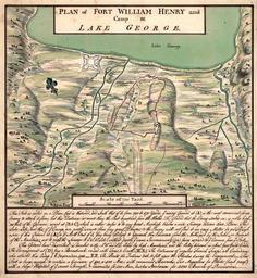
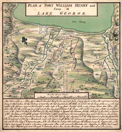
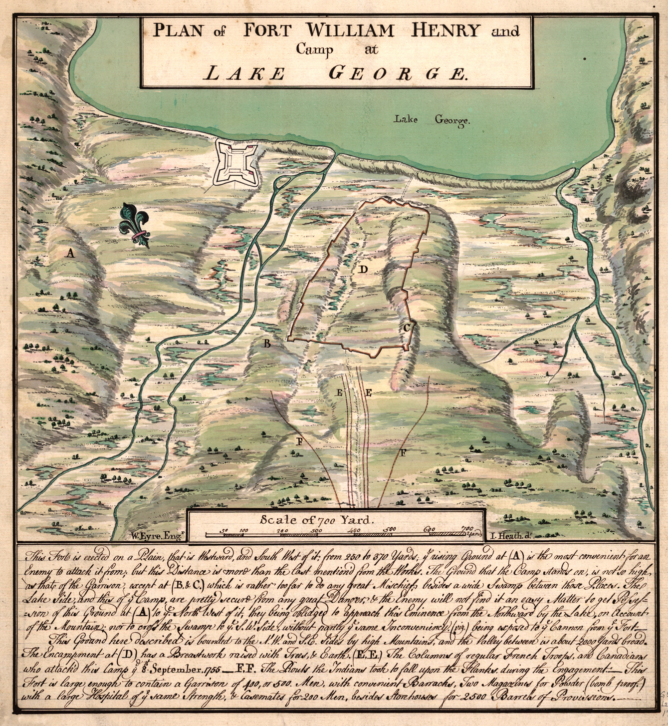
Plan of Fort William Henry on Lake George. Plan of Fort William Henry and Camp at Lake George Library of Congress Eyre Eng'r Heath d'r PDold The text at the bottom of the map reads This Forte is erected on Plain that is Westward and South West of it from to Yards ye rising Ground at is the most convenient for an Enemy to attack