Download:
| Tiny | 133x128 | View | Download |
| Small | 267x256 | View | Download |
| Medium | 535x512 | View | Download |
| Large | 1071x1024 | View | Download |
| Original | 2550x2436 | View | Download |
This image was acquired from
wikimedia. It was marked as Public Domain or CC0 and is free to use. To verify, go to the source and check the information there.
Looking for more info about this image?
Try a Google Reverse Image Search for it.
Try a Google Reverse Image Search for it.
Keywords from Image Description:
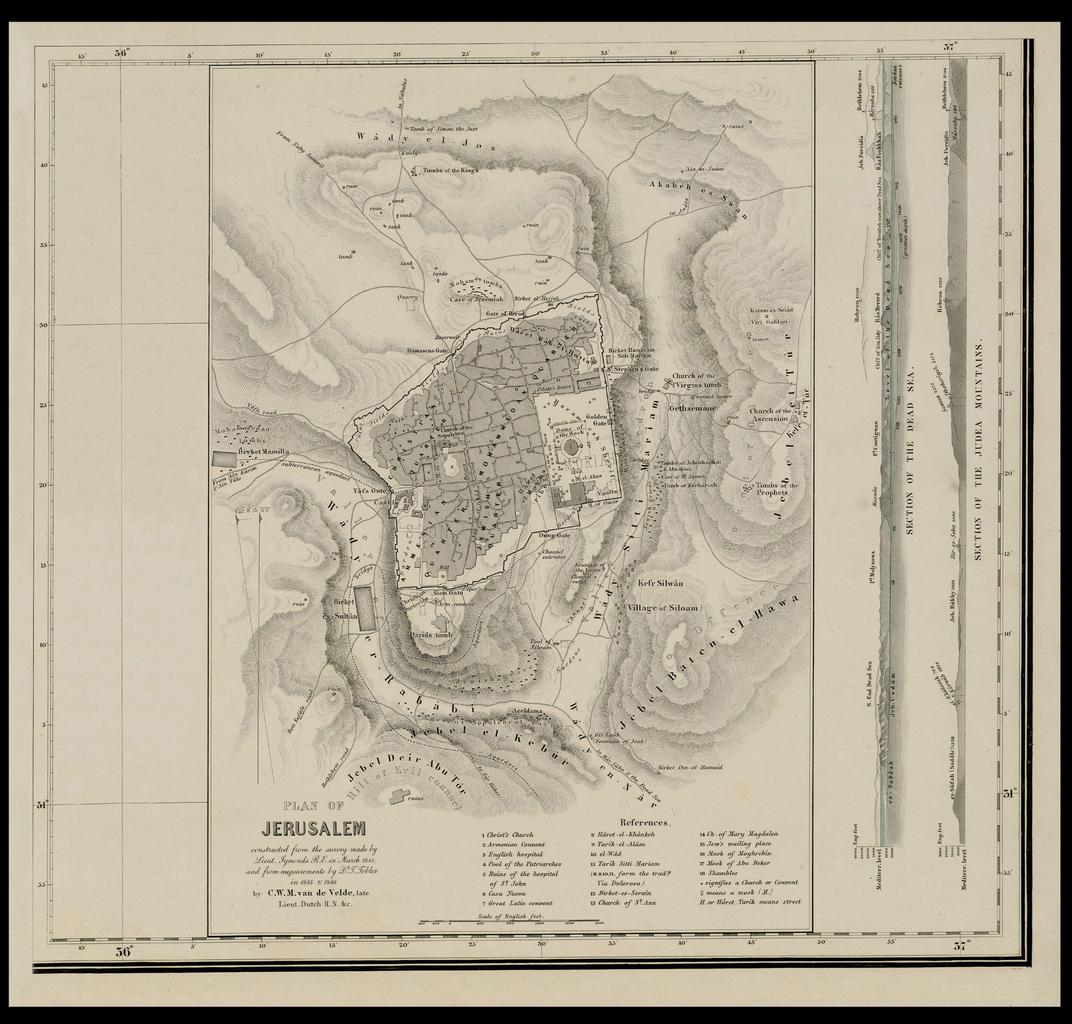
Plan of Jerusalem constructed from the survey made by Lieut. Symonds in March and from measurements by Tobler in by C.W.M. van de Velde late Lieut. nli org il aspx en Jerusalem measurement map by Van de Velde Inset in the author's Map of the Holy Land he Dimensions mm nli org il aspx presentorid NLIMAPSJER
