Related Images


Download:
| Tiny | 365x128 | View | Download |
| Small | 730x256 | View | Download |
| Medium | 1461x512 | View | Download |
| Large | 2923x1024 | View | Download |
| Original | 3757x1316 | View | Download |
This image was acquired from
wikimedia. It was marked as Public Domain or CC0 and is free to use. To verify, go to the source and check the information there.
Looking for more info about this image?
Try a Google Reverse Image Search for it.
Try a Google Reverse Image Search for it.
Keywords from Image Description:
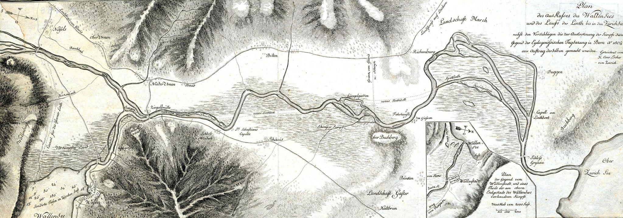
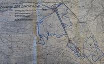
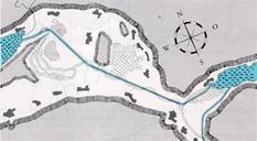
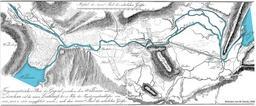
Plan Linthebene Escher . de Plan des Wallen Sees und des Laufs der Linth bis in den Zrich See Vorschlag von Hans Conrad Escher an die eidgenssische Tagsatzung zur Korrektion des Flusses Linth ethz ch Hans Conrad Escher von der Linth Hans Conrad Escher von der Linth Linth Linthebene Old maps of Switzerland in Switzerland Maag