Related Images


Download:
| Tiny | 164x128 | View | Download |
| Small | 329x256 | View | Download |
| Medium | 658x512 | View | Download |
| Large | 1317x1024 | View | Download |
| Original | 4588x3567 | View | Download |
This image was acquired from
wikimedia. It was marked as Public Domain or CC0 and is free to use. To verify, go to the source and check the information there.
Looking for more info about this image?
Try a Google Reverse Image Search for it.
Try a Google Reverse Image Search for it.
Keywords from Image Description:
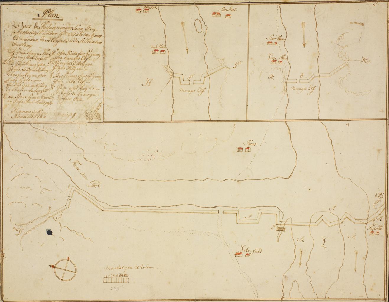
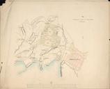
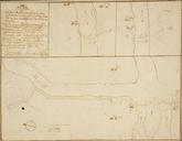
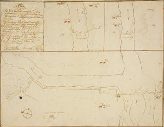
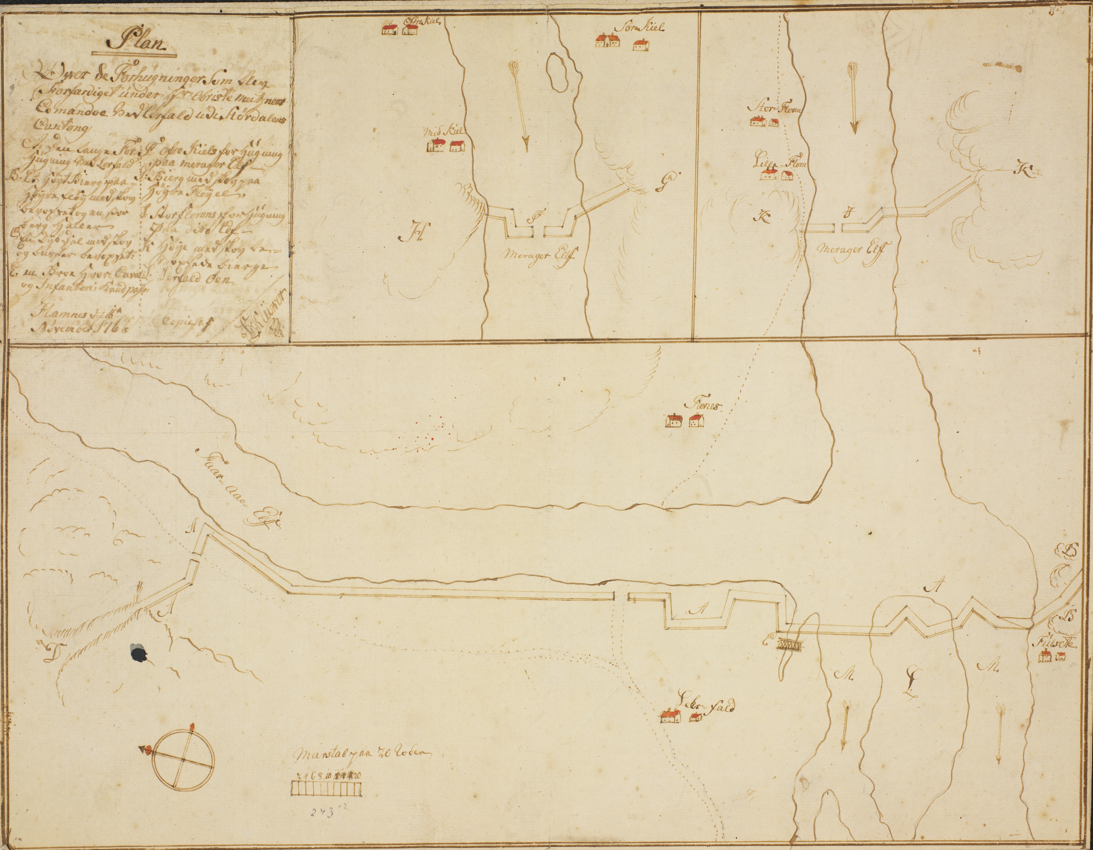
Plan over de Forhugninger som bleve forfrdiget under Obriste Meitzner Comandoe ved Lerfald udi Strdalens Cantong nonb krt . nb Kart fra Nasjonalbibliotekets kartsamling Kartet er gitt ut Hndtegnet og viser Trndelag Institution Nasjonalbiblioteket Klwer PDold Maps from Nasjonalbiblioteket Old maps of Norway Files uploaded by Nasjonalbiblioteketbot