
Related Images


Download:
| Tiny | 195x128 | View | Download |
| Small | 390x256 | View | Download |
| Medium | 780x512 | View | Download |
| Large | 1560x1024 | View | Download |
| Original | 2417x1586 | View | Download |
This image was acquired from
wikimedia. It was marked as Public Domain or CC0 and is free to use. To verify, go to the source and check the information there.
Looking for more info about this image?
Try a Google Reverse Image Search for it.
Try a Google Reverse Image Search for it.
Keywords from Image Description:
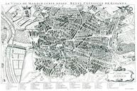
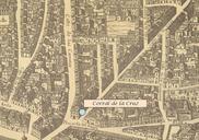
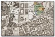
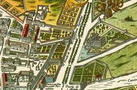
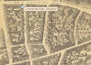
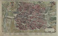
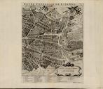
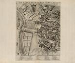
Plano de Madrid hacia . en Decorative large plan of Madrid originally issued by Nicolas De Fer and published in Paris by his son in law Benard De Fer's map of Madrid is one of the largest obtainable maps of the Spanish Capital published in the first half of the th Century Embellished with two large coats of arms the map identifies