
Related Images


Download:
| Tiny | 180x128 | View | Download |
| Small | 360x256 | View | Download |
| Medium | 721x512 | View | Download |
| Large | 1443x1024 | View | Download |
| Original | 6322x4485 | View | Download |
This image was acquired from
wikimedia. It was marked as Public Domain or CC0 and is free to use. To verify, go to the source and check the information there.
Looking for more info about this image?
Try a Google Reverse Image Search for it.
Try a Google Reverse Image Search for it.
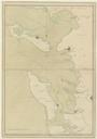
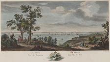
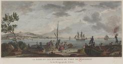
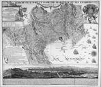
Keywords from Image Description:
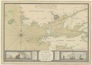
Plans des ports de France Rade et environs de Brest. fr Carte de la rade de Brest et de ses environs en avec les diffrents navires civils de la rgion en Map of the Bay of Brest in Prints different types of ships nearby btvbc item unknown PDScan Plans des ports de France Old maps of Brest in Bretagne Brest France in the th