Related Images


Download:
| Tiny | 100x128 | View | Download |
| Small | 201x256 | View | Download |
| Medium | 402x512 | View | Download |
| Large | 805x1024 | View | Download |
| Original | 6564x8349 | View | Download |
This image was acquired from
wikimedia. It was marked as Public Domain or CC0 and is free to use. To verify, go to the source and check the information there.
Looking for more info about this image?
Try a Google Reverse Image Search for it.
Try a Google Reverse Image Search for it.
Keywords from Image Description:
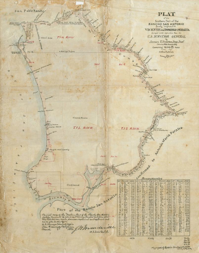
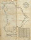
Plat of Northern Part of Rancho San Antonio. Plat map of the Northern Part of the Rancho San Antonio in California in present day Alameda County Northern California Finally confirmed by to Vicente and Domingo Peralta cartographic material containing acres February December cdlib org order February December surveyed under