
Related Images


Download:
| Tiny | 136x128 | View | Download |
| Small | 273x256 | View | Download |
| Medium | 546x512 | View | Download |
| Large | 1092x1024 | View | Download |
| Original | 1405x1317 | View | Download |
This image was acquired from
wikimedia. It was marked as Public Domain or CC0 and is free to use. To verify, go to the source and check the information there.
Looking for more info about this image?
Try a Google Reverse Image Search for it.
Try a Google Reverse Image Search for it.
Keywords from Image Description:
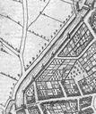
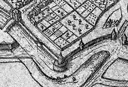
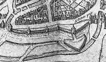
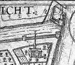
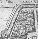
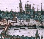
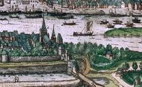
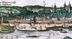
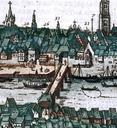
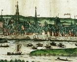
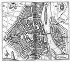
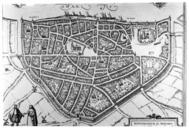
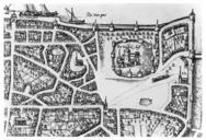
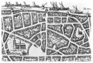
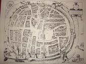
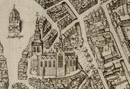
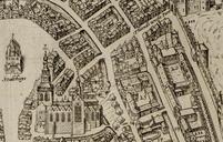
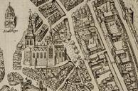
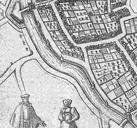
Plattegrond Maastricht uit atlas Civitates Orbis Terrarum Braun en Hogenberg omgeving Sint Servaasbolwerk tussen Brusselsepoort en Tongersepoort. en Maastricht the Netherlands Detail of map of Maastricht from the atlas Civitates Orbis Terrarum Braun Hogenberg Here the southwestern city wall between the city gates Brusselsepoort