Download:
| Tiny | 114x128 | View | Download |
| Small | 229x256 | View | Download |
| Medium | 458x512 | View | Download |
| Large | 916x1024 | View | Download |
| Original | 3330x3721 | View | Download |
This image was acquired from
wikimedia. It was marked as Public Domain or CC0 and is free to use. To verify, go to the source and check the information there.
Looking for more info about this image?
Try a Google Reverse Image Search for it.
Try a Google Reverse Image Search for it.
Keywords from Image Description:
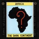
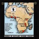
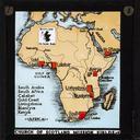
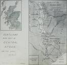
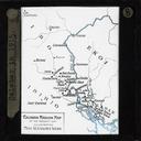
Political Map of Africa ca. IMPCSWCLS. en Political Map of Africa ca Black and white lantern slide showing political map of Africa Several territories have been marked with black dots including Abyssinia Arabia French West Africa and Angola This slide comes from set on the activities of the King African Rifles battalions in Nyasaland

