Related Images
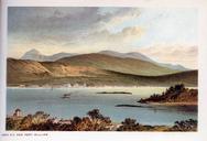


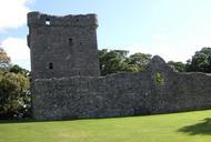
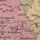
Download:
| Tiny | 112x128 | View | Download |
| Small | 224x256 | View | Download |
| Medium | 449x512 | View | Download |
| Original | 600x684 | View | Download |
This image was acquired from
flickr. It was marked as Public Domain or CC0 and is free to use. To verify, go to the source and check the information there.
Looking for more info about this image?
Try a Google Reverse Image Search for it.
Try a Google Reverse Image Search for it.
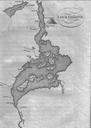
Keywords from Image Description:
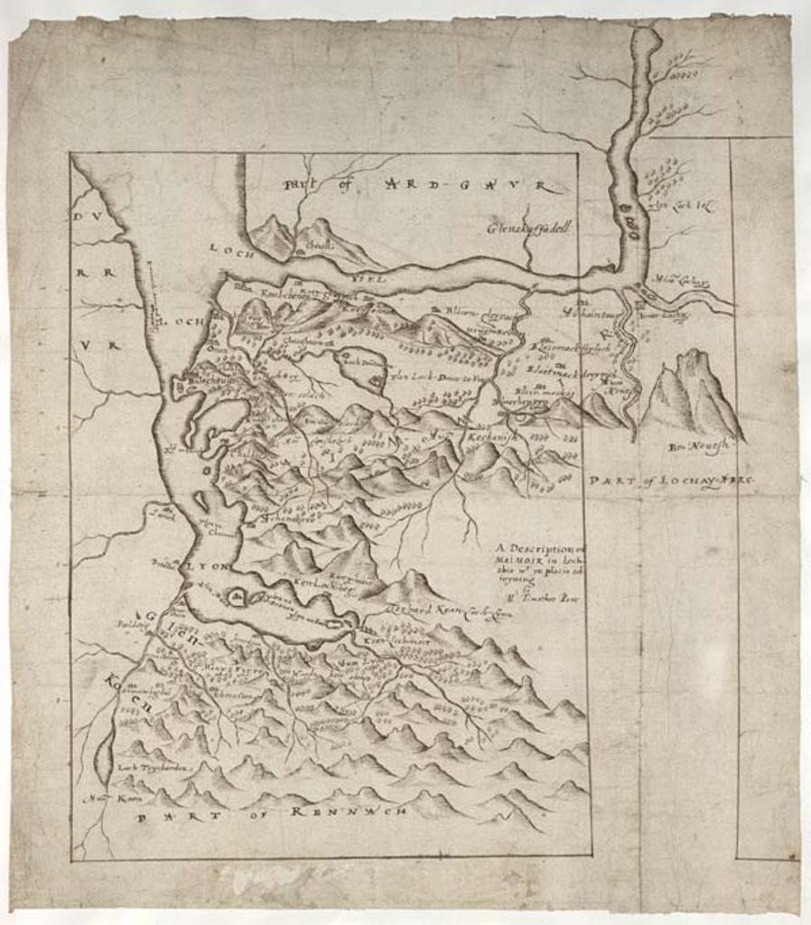
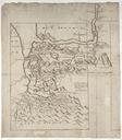
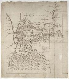
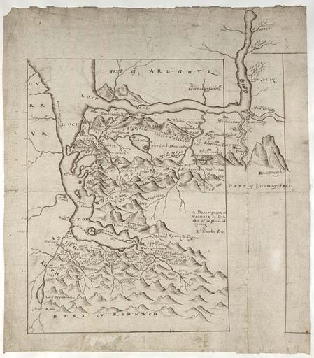
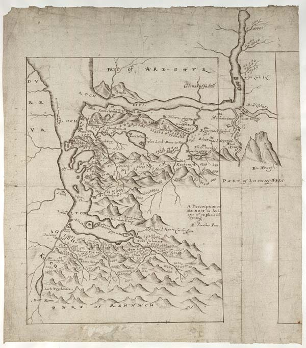
map timothy pont timothypont manuscript scotland glen coe glencoe glen nevis glennevis highlands loch eil locheil loch leven lochleven ben nevis bennevis loch lyon lochlyon nls sketch drawing text writing monochrome texture photo border This map focuses on the area between Glen Coe and Glen Nevis in the western Highlands. It shows