Download:
| Tiny | 150x128 | View | Download |
| Small | 300x256 | View | Download |
| Original svg | 454x387 | View | Download |
| Original as jpg | 454x387 | View | Download |
This image was acquired from
wikimedia. It was marked as Public Domain or CC0 and is free to use. To verify, go to the source and check the information there.
Looking for more info about this image?
Try a Google Reverse Image Search for it.
Try a Google Reverse Image Search for it.
Keywords from Image Description:
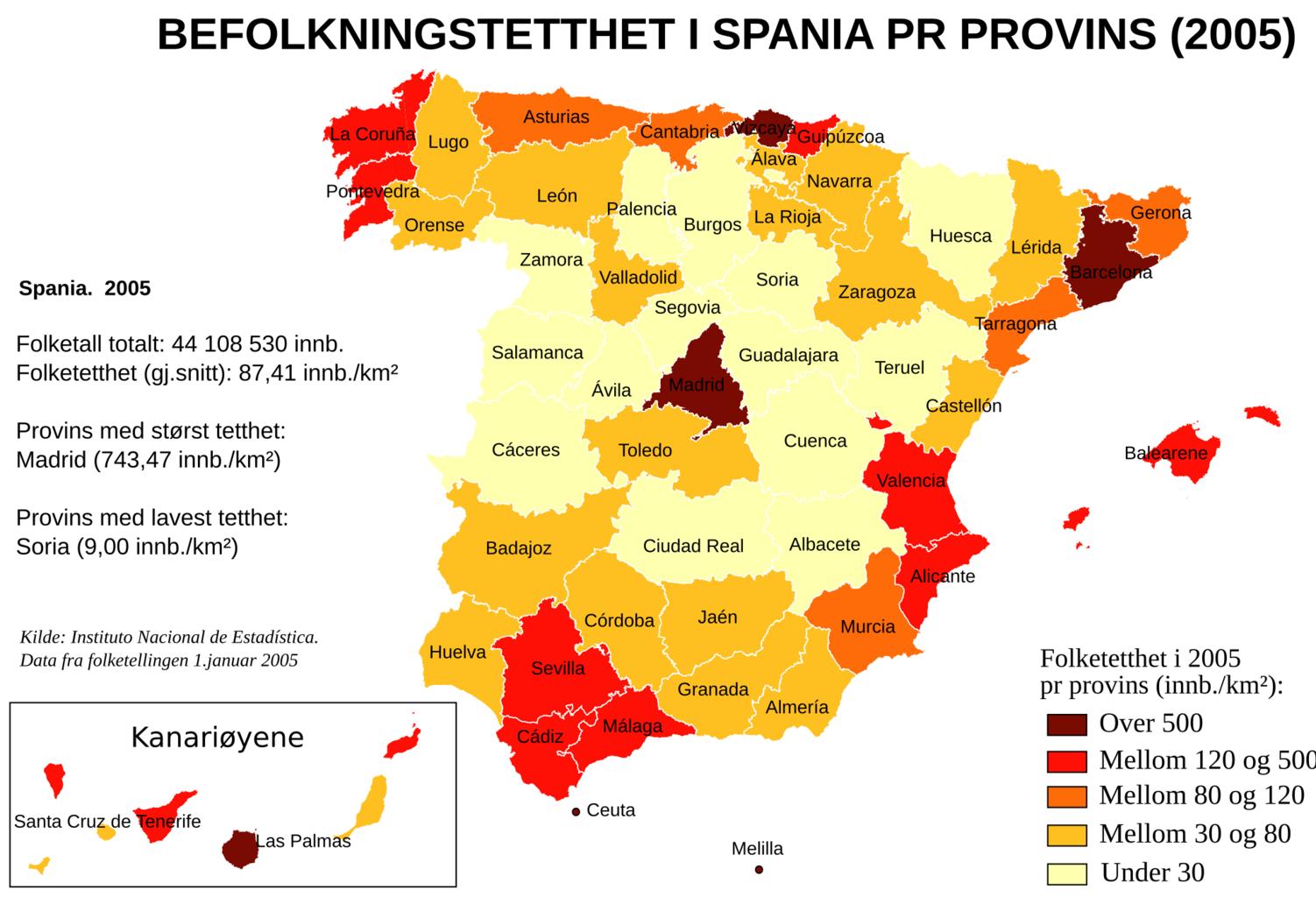
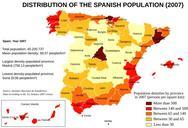
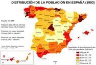
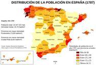
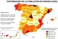
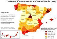
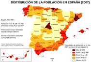
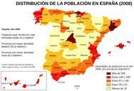
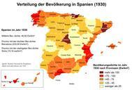
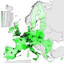
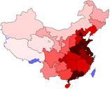
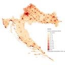
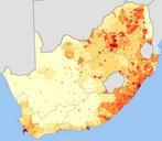
Population densities in Spain lang no.svg Map of Spain showing the population densities of provinces and islands according to the Instituto Nacional de Estadstica census Norwegian labels Kart over Spania som vier folketettheten provinsene og yene ut fra Instituto Nacional de Estadstica sin folketelling selfmade from Image Population
