
Related Images


Download:
| Tiny | 107x128 | View | Download |
| Small | 214x256 | View | Download |
| Medium | 428x512 | View | Download |
| Large | 857x1024 | View | Download |
| Original | 3001x3585 | View | Download |
This image was acquired from
wikimedia. It was marked as Public Domain or CC0 and is free to use. To verify, go to the source and check the information there.
Looking for more info about this image?
Try a Google Reverse Image Search for it.
Try a Google Reverse Image Search for it.
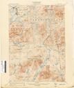
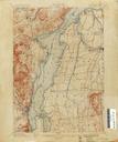
Keywords from Image Description:
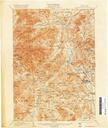
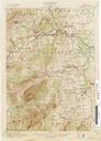
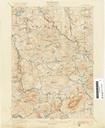
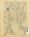
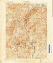
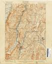
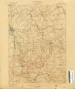
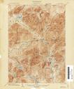
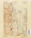
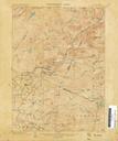
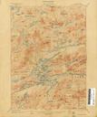
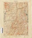
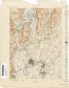
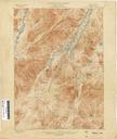
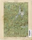
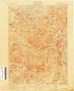
Port Henry New York USGS topo map . en Old United States Geological Survey quad map of the Adirondacks in NY State image of this topographical quadrangle map retrieved from archive at Old Book Art website gallery oldbookart php gitemId USGS Public domain rights and usage information confirmed at oldbookart oldbookart PDUSGovUSGS