This image was acquired from
wikimedia. It was marked as Public Domain or CC0 and is free to use. To verify, go to the source and check the information there.
Looking for more info about this image?
Try a Google Reverse Image Search for it.
Try a Google Reverse Image Search for it.
Keywords from Image Description:
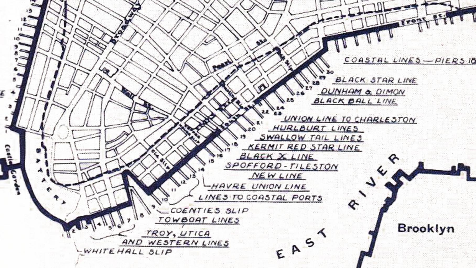
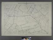
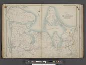
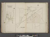
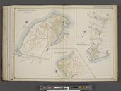
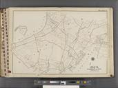
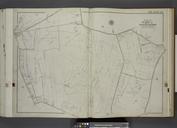
Port of New York . en Map of the Port of New York on the south tip of Manhattan Island in Heavy broken line marks the waterfront below City Hall park in Area filled in prior to de Karte des Hafens von New York an der Sdspitze von Manhattan Island aus dem Jahr Die fette gestrichelte Linie markiert das Ufer unterhalb des City Hall
