Related Images


Download:
| Tiny | 168x128 | View | Download |
| Small | 336x256 | View | Download |
| Medium | 672x512 | View | Download |
| Original png | 1034x787 | View | Download |
| Original as jpg | 1034x787 | View | Download |
This image was acquired from
wikimedia. It was marked as Public Domain or CC0 and is free to use. To verify, go to the source and check the information there.
Looking for more info about this image?
Try a Google Reverse Image Search for it.
Try a Google Reverse Image Search for it.
Keywords from Image Description:
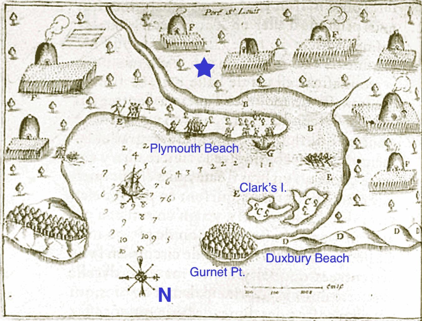
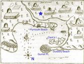
Port St Louis Annotated. Port St Louis Plymouth Massachusetts Harbor Original map drawn by Samuel de Champlain in Modern place names added by me star is the approximate location of initial English settlement at Plymouth en FastilyClone MTC IMeowbot other versions iMeowbot June PDold Original upload log page en PortStLouisAnnotated