Related Images


Download:
| Tiny | 182x128 | View | Download |
| Small | 365x256 | View | Download |
| Medium | 731x512 | View | Download |
| Original | 1072x750 | View | Download |
This image was acquired from
wikimedia. It was marked as Public Domain or CC0 and is free to use. To verify, go to the source and check the information there.
Looking for more info about this image?
Try a Google Reverse Image Search for it.
Try a Google Reverse Image Search for it.
Keywords from Image Description:
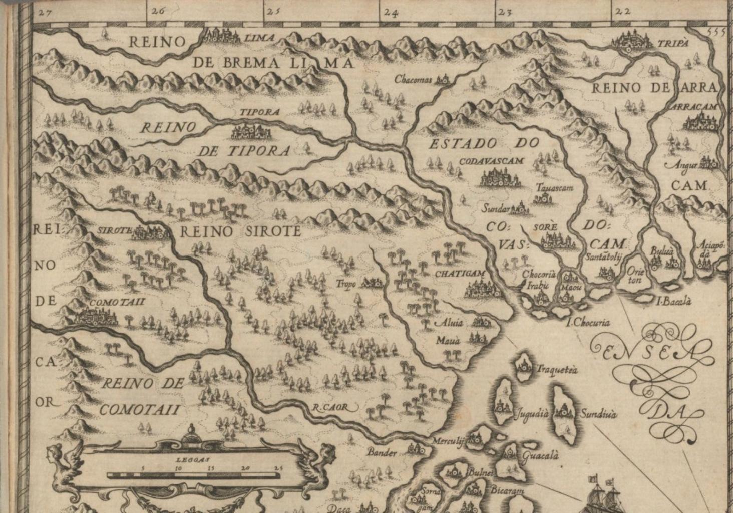
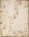
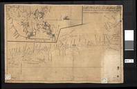
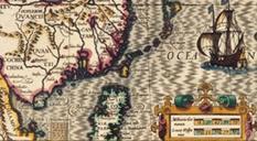
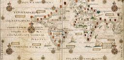
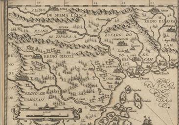
Portuguese map of CHT. en Portuguese map of Chittagong Hill Tracts Chacomas on the eastern bank of the river Karnaphuli and Arracam present Rakhine State of Myanmar can be seen on the extreme right Harvard University Houghton Library Joo de Barros other versions PDold PDUS Maps Joo de Barros