
Related Images


Download:
| Tiny | 175x128 | View | Download |
| Small | 351x256 | View | Download |
| Medium | 703x512 | View | Download |
| Large | 1407x1024 | View | Download |
| Original | 6917x5034 | View | Download |
This image was acquired from
wikimedia. It was marked as Public Domain or CC0 and is free to use. To verify, go to the source and check the information there.
Looking for more info about this image?
Try a Google Reverse Image Search for it.
Try a Google Reverse Image Search for it.
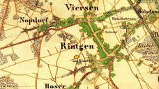
Keywords from Image Description:
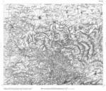
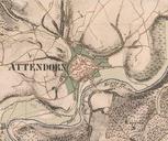
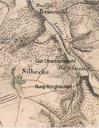
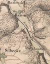
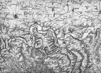
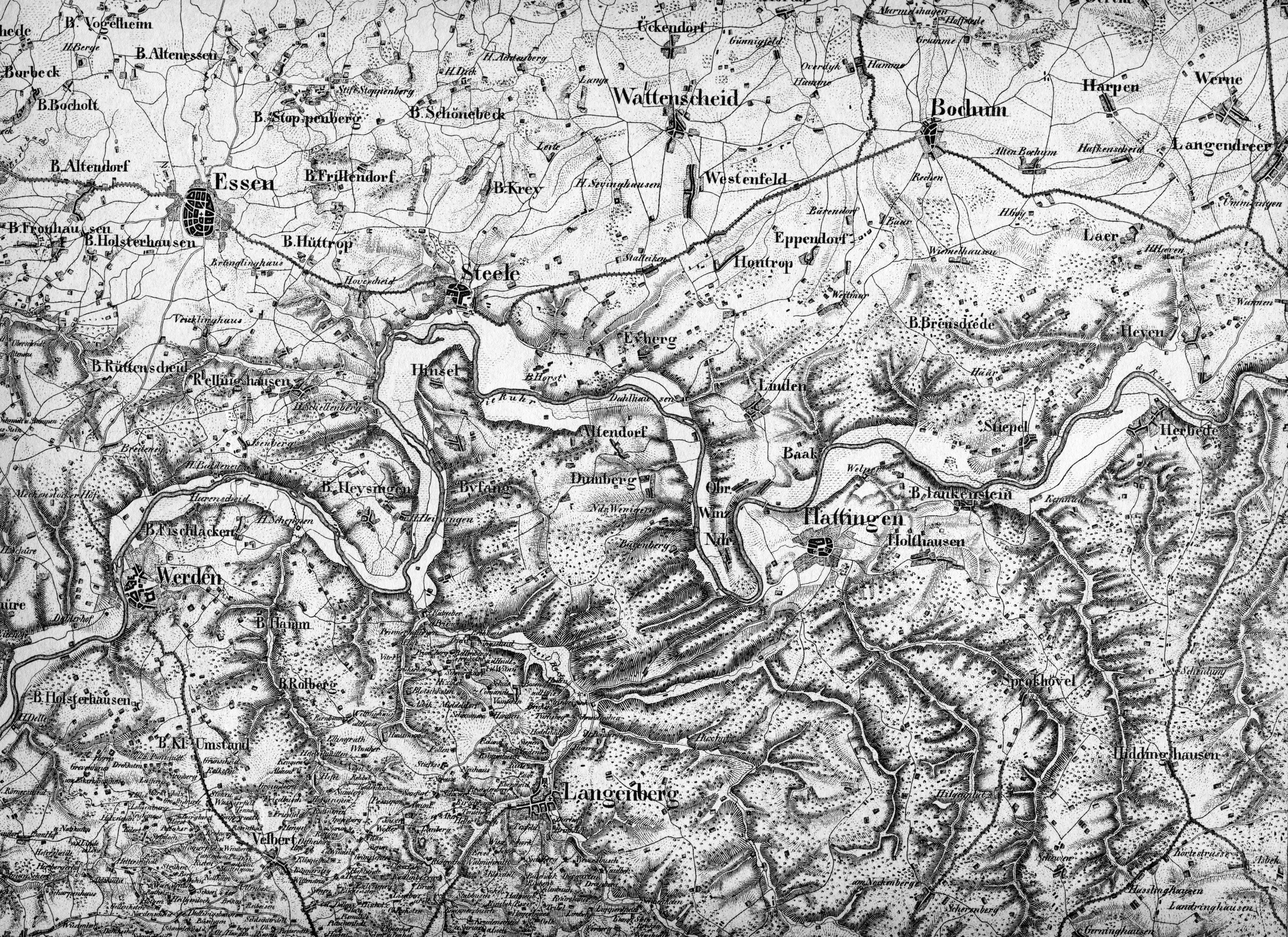
Preussische Generalstabskarte Ausschnitt Mittlere Ruhr. Map of the lower middle Ruhr Region early th century br showing South of Essen and Bochum in Germany Preuische Generalstabskarte halbe Gradeinteilung br Reduktion der Kartenaufnahme der Rheinlande durch Tranchot br und durch von Mffling vom Aufnahmemastab in den Mastab