Related Images

Download:
| Tiny | 174x128 | View | Download |
| Small | 348x256 | View | Download |
| Medium | 697x512 | View | Download |
| Large | 1395x1024 | View | Download |
| Original | 4852x3561 | View | Download |
This image was acquired from
wikimedia. It was marked as Public Domain or CC0 and is free to use. To verify, go to the source and check the information there.
Looking for more info about this image?
Try a Google Reverse Image Search for it.
Try a Google Reverse Image Search for it.
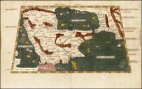
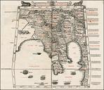
Keywords from Image Description:
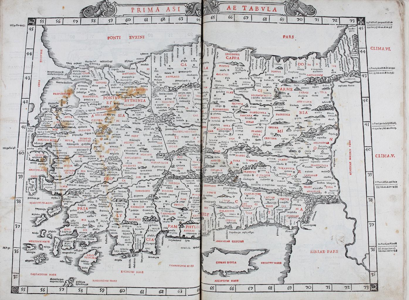
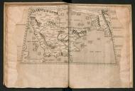
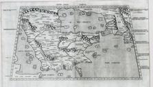
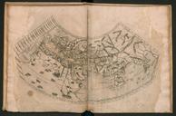
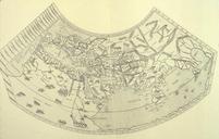
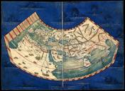
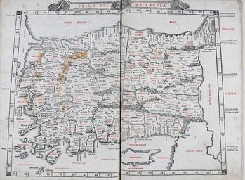
Prima Asiae Tabula II. In prima Tabula Pontus Bithynia Quae propriae Asiae dicitur Turcia Phrygia Lycia Galatia Paphlagonia Pamphylia Cappadocia Armenia minor Cilycia en The first Asian map depicting Roman Anatolia from the Venetian edition of Ptolemy's Geography edited by Bernardus Sylvanus Evoliensis Bernardo da Silva of Eboli