
Related Images


Download:
| Tiny | 205x128 | View | Download |
| Small | 410x256 | View | Download |
| Medium | 820x512 | View | Download |
| Large | 1640x1024 | View | Download |
| Original tiff | 3000x1873 | View | Download |
| Original as jpg | 3000x1873 | View | Download |
This image was acquired from
wikimedia. It was marked as Public Domain or CC0 and is free to use. To verify, go to the source and check the information there.
Looking for more info about this image?
Try a Google Reverse Image Search for it.
Try a Google Reverse Image Search for it.
Keywords from Image Description:
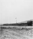
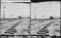
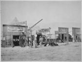
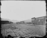
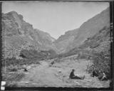
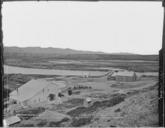
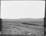
Promontory Point the spot where the track layers met and laid the last rail. Elevation feet. Box Elder County... NARA .tif Scope and content General notes Local identifier HS Department of the Interior General Land Office Geological and Geographic Survey of the Territories NARAAuthor Jackson William Henry Photographer File