
Related Images


Download:
| Tiny | 170x128 | View | Download |
| Small | 341x256 | View | Download |
| Medium | 682x512 | View | Download |
| Large | 1365x1024 | View | Download |
| Original png | 7331x5498 | View | Download |
| Original as jpg | 7331x5498 | View | Download |
This image was acquired from
wikimedia. It was marked as Public Domain or CC0 and is free to use. To verify, go to the source and check the information there.
Looking for more info about this image?
Try a Google Reverse Image Search for it.
Try a Google Reverse Image Search for it.
Keywords from Image Description:
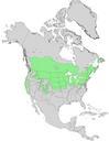
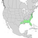
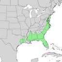
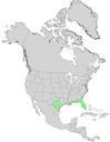
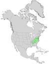
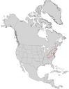
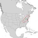
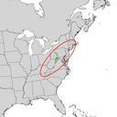
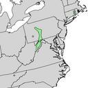
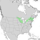
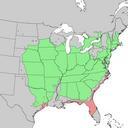
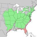
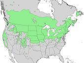
Prunus virginiana range map . en Natural distribution map for Prunus virginiana common chokecherry cr usgs gov USGS Geosciences and Environmental Change Science Center Digital Representations of Tree Species Range Maps from Atlas of United States trees Vol minor Eastern hardwoods Department of Agriculture Miscellaneous Publication