
Related Images


Download:
| Tiny | 179x128 | View | Download |
| Small | 358x256 | View | Download |
| Medium | 717x512 | View | Download |
| Large | 1434x1024 | View | Download |
| Original png | 1755x1253 | View | Download |
| Original as jpg | 1755x1253 | View | Download |
This image was acquired from
wikimedia. It was marked as Public Domain or CC0 and is free to use. To verify, go to the source and check the information there.
Looking for more info about this image?
Try a Google Reverse Image Search for it.
Try a Google Reverse Image Search for it.
Keywords from Image Description:
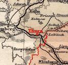
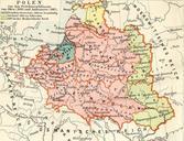
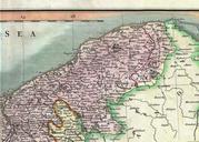
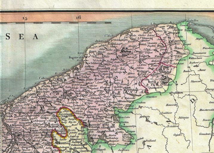
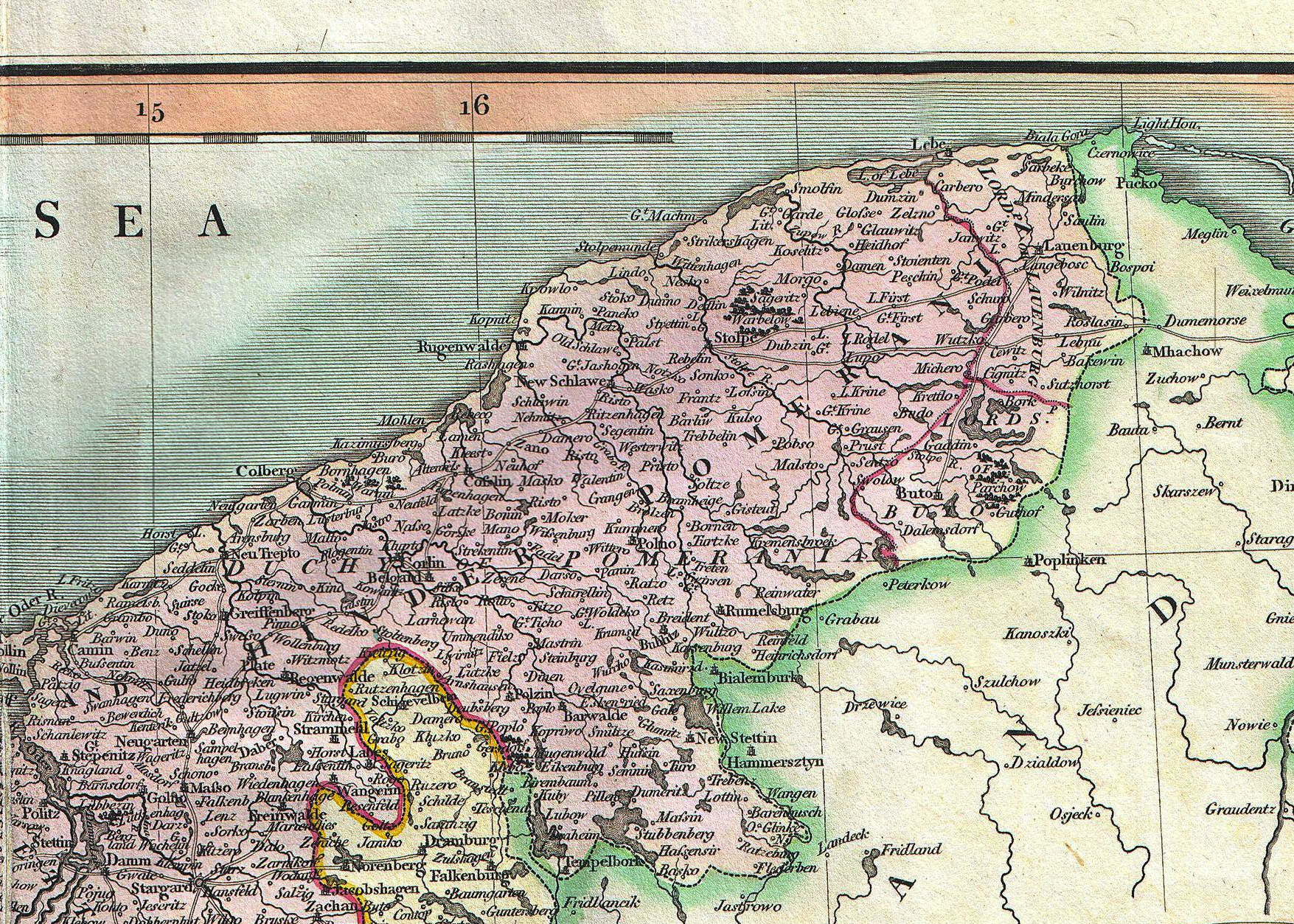
PrussianPolish border in the th century. An attractive example of John Cary map of Upper Saxony Germany Covers from the Baltic Sea south to Franconia Bavaria Bohemia and Moravia Extends eastward as far as Poland Includes the Duchy of Silesia the Duchy of Lusatia Prussian Pomerania Electoral Mark of Brandenburg and the Margraviate