Related Images


Download:
| Tiny | 144x128 | View | Download |
| Small | 288x256 | View | Download |
| Medium | 577x512 | View | Download |
| Large | 1155x1024 | View | Download |
| Original | 3626x3213 | View | Download |
This image was acquired from
wikimedia. It was marked as Public Domain or CC0 and is free to use. To verify, go to the source and check the information there.
Looking for more info about this image?
Try a Google Reverse Image Search for it.
Try a Google Reverse Image Search for it.
Keywords from Image Description:
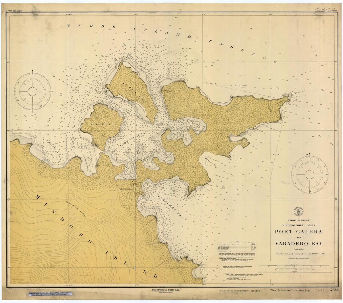
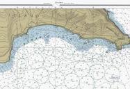
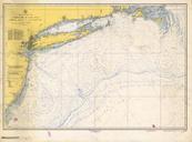
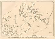
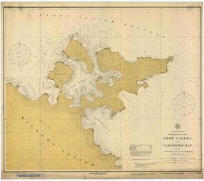
Puertogalera chart .jpeg Map of Port Galera Puerto Galera and Varadero Bay Mindoro island Philippines Scanned image of US Coast Geodetic Survey Manila Office nautical chart Credits From the Image Archives of the ncd noaa gov htm Historical Map Chart Collection of Coast Survey Ocean Service States government Converted from MrSID