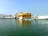
Related Images


Download:
| Tiny | 170x128 | View | Download |
| Small | 341x256 | View | Download |
| Original gif | 640x480 | View | Download |
| Original as jpg | 640x480 | View | Download |
This image was acquired from
wikimedia. It was marked as Public Domain or CC0 and is free to use. To verify, go to the source and check the information there.
Looking for more info about this image?
Try a Google Reverse Image Search for it.
Try a Google Reverse Image Search for it.
Keywords from Image Description:
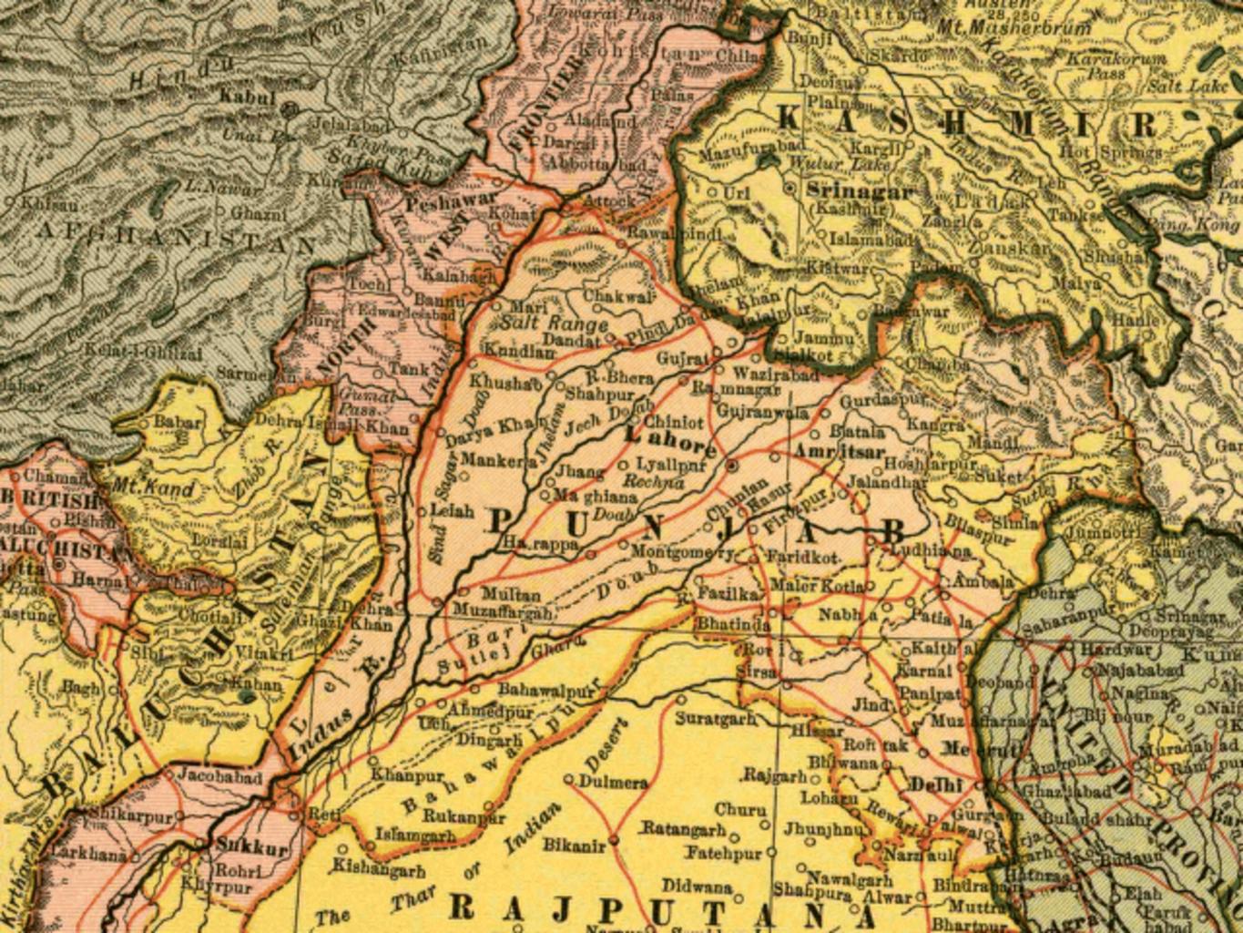
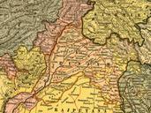
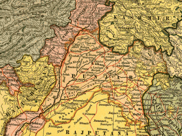
Punjab . In this map the British Raj Punjab province is colored pink and the Indian princely states are colored yellow As the map indicates number of princely states mostly in the eastern Punjab fell under the political authority of the British Governor of the Punjab From map of India by Dodd Mead and Company Library of Congress