
Related Images


Download:
| Tiny | 175x128 | View | Download |
| Small | 350x256 | View | Download |
| Medium | 701x512 | View | Download |
| Large | 1403x1024 | View | Download |
| Original | 4806x3506 | View | Download |
This image was acquired from
wikimedia. It was marked as Public Domain or CC0 and is free to use. To verify, go to the source and check the information there.
Looking for more info about this image?
Try a Google Reverse Image Search for it.
Try a Google Reverse Image Search for it.
Keywords from Image Description:
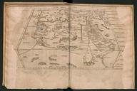
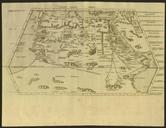
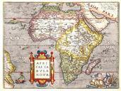
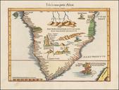
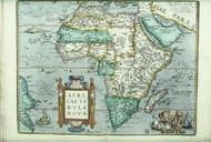
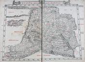
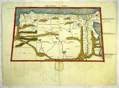
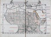
Quarta Africae Tabula. In quarta et ultima Aphricae Tabula Libya interior Aethiopia interior Aethiopia sub Aegypto en The fourth African map depicting Saharan and Subsaharan Africa from the Venetian edition of Ptolemy's Geography edited by Bernardus Sylvanus Evoliensis Bernardo da Silva of Eboli and published by Jacobus Pentius