
Related Images


Download:
| Tiny | 96x128 | View | Download |
| Small | 192x256 | View | Download |
| Medium | 385x512 | View | Download |
| Large | 770x1024 | View | Download |
| Original tiff | 5381x7156 | View | Download |
| Original as jpg | 5381x7156 | View | Download |
This image was acquired from
wikimedia. It was marked as Public Domain or CC0 and is free to use. To verify, go to the source and check the information there.
Looking for more info about this image?
Try a Google Reverse Image Search for it.
Try a Google Reverse Image Search for it.
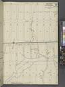
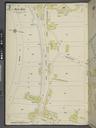
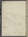
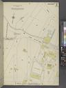
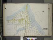
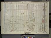
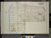
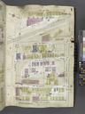
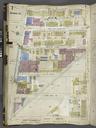
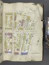
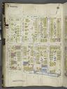
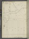
Keywords from Image Description:
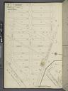
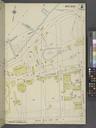
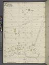
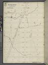
Queens V. Plate No. Map bounded by Wolcott Ave. nd St. Mansfield Ave. th St. NYPL. Queens Plate No Map bounded by Wolcott Ave nd St Mansfield Ave th St Atlases of New York city Insurance maps of New York Queens Atlas Vol Information field Location Stephen Schwarzman Building The Lionel Pincus and Princess Firyal Map Division