
Related Images


Download:
| Tiny | 84x128 | View | Download |
| Small | 169x256 | View | Download |
| Medium | 339x512 | View | Download |
| Large | 678x1024 | View | Download |
| Original | 818x1235 | View | Download |
This image was acquired from
wikimedia. It was marked as Public Domain or CC0 and is free to use. To verify, go to the source and check the information there.
Looking for more info about this image?
Try a Google Reverse Image Search for it.
Try a Google Reverse Image Search for it.
Keywords from Image Description:
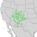
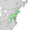
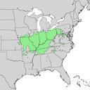
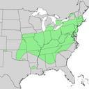
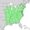
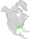
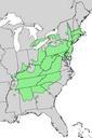
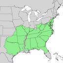
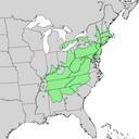
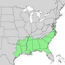
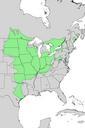
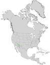
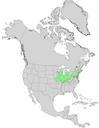
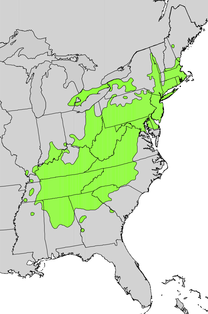
Quercus prinus range map. ca Mapa de distribuci del Quercus prinus es Mapa de distribucin de Quercus prinus fr Carte de la rpartition de Quercus prinus cr usgs gov Geological Survey PDUSGov Uploaded with Maps of the United States Original upload log page en Quercusprinusrangemap Pinethicket bytes no Summary Range map


