Related Images


This image was acquired from
wikimedia. It was marked as Public Domain or CC0 and is free to use. To verify, go to the source and check the information there.
Looking for more info about this image?
Try a Google Reverse Image Search for it.
Try a Google Reverse Image Search for it.
Keywords from Image Description:
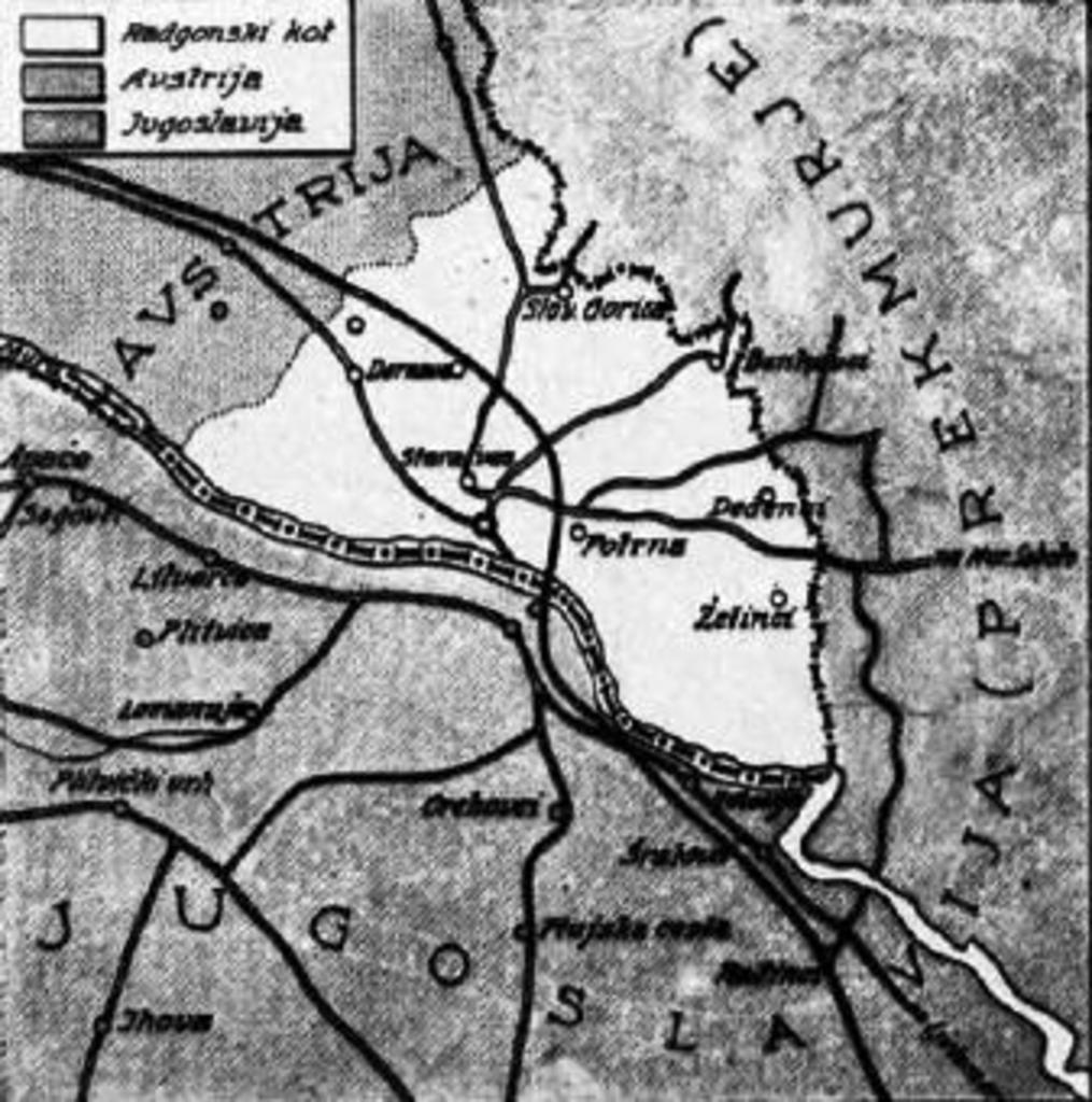
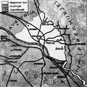
Radgonski kot. en Map of Bad Radkersburgs corner sl Zemljevid radgonskega kota by HXPK doc author Custom marker PDSlovenia Uploaded with History of Gornja Radgona Bad Radkersburg Maps of the history of modern Slovenia Maps of the history of Austria thcentury maps of Slovenia