
Related Images


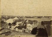
This image was acquired from
wikimedia. It was marked as Public Domain or CC0 and is free to use. To verify, go to the source and check the information there.
Looking for more info about this image?
Try a Google Reverse Image Search for it.
Try a Google Reverse Image Search for it.
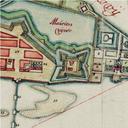
Keywords from Image Description:
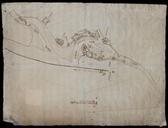
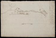
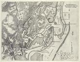
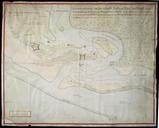
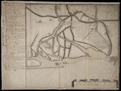
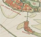
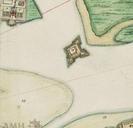
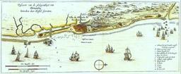
RecifeMapForteErnesto. en City of Recife Brazil in the th century showing the Ernesto Fort labelled Vingboons Atlas Author PDold Watermark removed History of Recife Old maps of Dutch Brazil