
Related Images


Download:
| Tiny | 226x128 | View | Download |
| Small | 453x256 | View | Download |
| Medium | 906x512 | View | Download |
| Large | 1812x1024 | View | Download |
| Original png | 2552x1442 | View | Download |
| Original as jpg | 2552x1442 | View | Download |
This image was acquired from
wikimedia. It was marked as Public Domain or CC0 and is free to use. To verify, go to the source and check the information there.
Looking for more info about this image?
Try a Google Reverse Image Search for it.
Try a Google Reverse Image Search for it.
Keywords from Image Description:
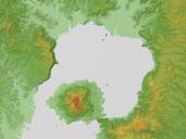
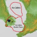
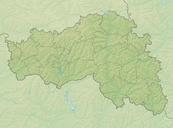
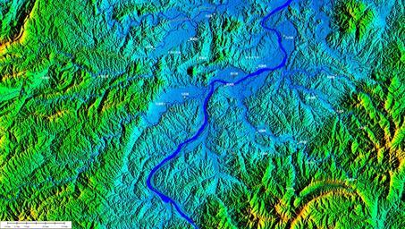
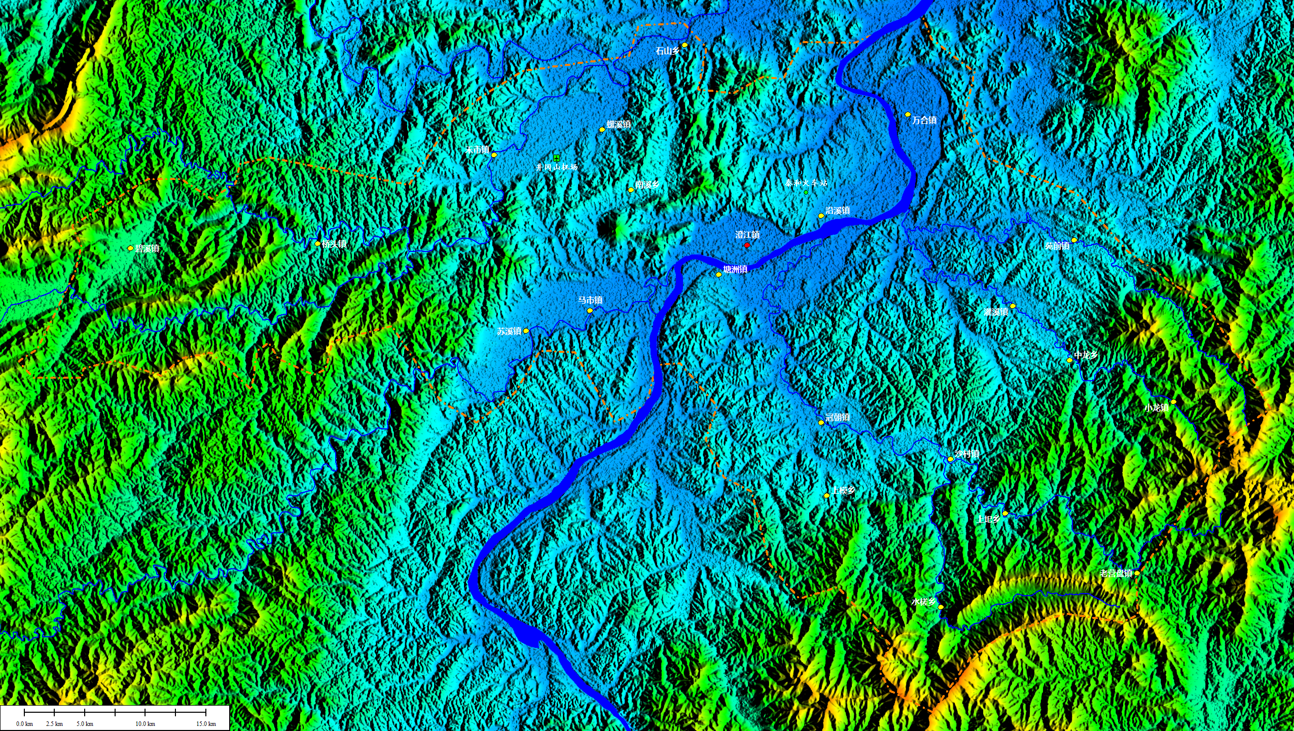
Relief Map of Taihe. Global Mapper jpl nasa gov Shuttle Radar Topography Mission Taihe County edited with Global Mapper Elevation data downloaded from jpl nasa gov Shuttle Radar Topography Mission Public domain Own Camphora Maps of Taihe Jiangxi Maps in Chinese NASA SRTM images Topographic maps of Asia