
Related Images


Download:
| Tiny | 170x128 | View | Download |
| Small | 341x256 | View | Download |
| Medium | 682x512 | View | Download |
| Large | 1365x1024 | View | Download |
| Original | 7200x5400 | View | Download |
This image was acquired from
wikimedia. It was marked as Public Domain or CC0 and is free to use. To verify, go to the source and check the information there.
Looking for more info about this image?
Try a Google Reverse Image Search for it.
Try a Google Reverse Image Search for it.
Keywords from Image Description:
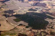
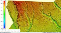
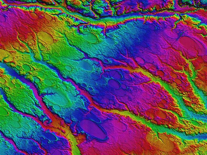
Rex NC LiDAR DEM of Carolina bays. en This Digital Elevation Map covers square km centered on Rex NC Robeson County The colors shown are an indication of topographic elevation from AMSL in the lower right to in upper left Vertical resolutions of centimeters allow for visualization of the form and extent of the bays otherwise