
Related Images


Download:
| Tiny | 166x128 | View | Download |
| Small | 332x256 | View | Download |
| Medium | 664x512 | View | Download |
| Large | 1328x1024 | View | Download |
| Original | 1804x1390 | View | Download |
This image was acquired from
flickr. It was marked as Public Domain or CC0 and is free to use. To verify, go to the source and check the information there.
Looking for more info about this image?
Try a Google Reverse Image Search for it.
Try a Google Reverse Image Search for it.
Keywords from Image Description:
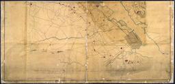
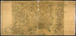
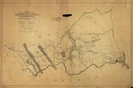
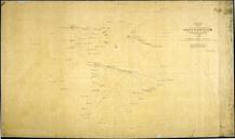
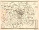
drawing sketch text writing monochrome photo border Roberts' road map of the District of Columbia and adjoining portions of Maryland and Virginia. Public domain from US Library of Congress www.loc.gov Roberts' road map of the District of Columbia and adjoining portions of Maryland and Virginia. Public domain from US Library