Related Images


Download:
| Tiny | 178x128 | View | Download |
| Small | 357x256 | View | Download |
| Medium | 714x512 | View | Download |
| Large | 1428x1024 | View | Download |
| Original tiff | 8585x6154 | View | Download |
| Original as jpg | 8585x6154 | View | Download |
This image was acquired from
wikimedia. It was marked as Public Domain or CC0 and is free to use. To verify, go to the source and check the information there.
Looking for more info about this image?
Try a Google Reverse Image Search for it.
Try a Google Reverse Image Search for it.
Keywords from Image Description:
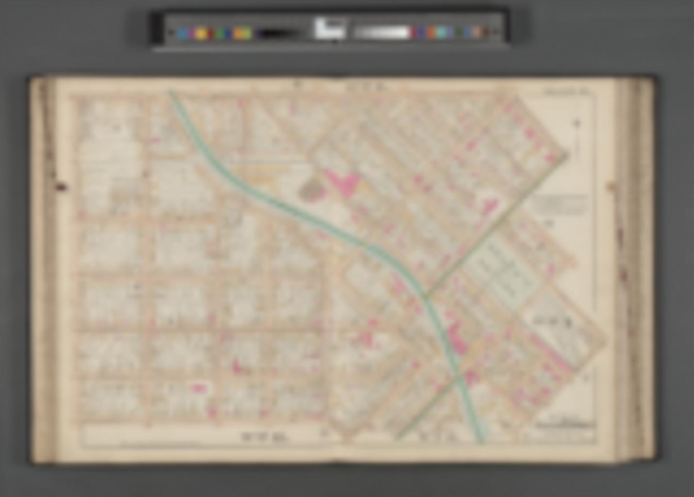
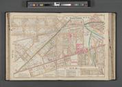
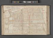
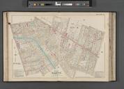
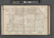
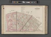
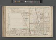
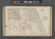
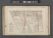
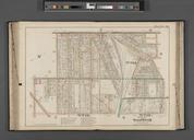
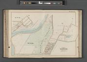
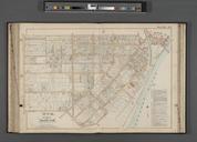
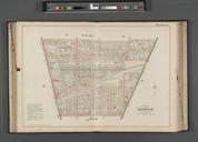
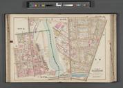
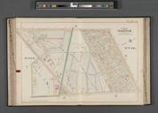
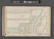
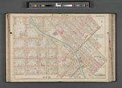
Rochester Double Page Plate No. Map bounded by Lyell Ave. State St. Platt St. Campbell St. Whitney St. NYPL. Rochester Double Page Plate No Map bounded by Lyell Ave State St Platt St Campbell St Whitney St Atlases of the United States New York Robinson's atlas of the city of Rochester Monroe County New York compiled from official