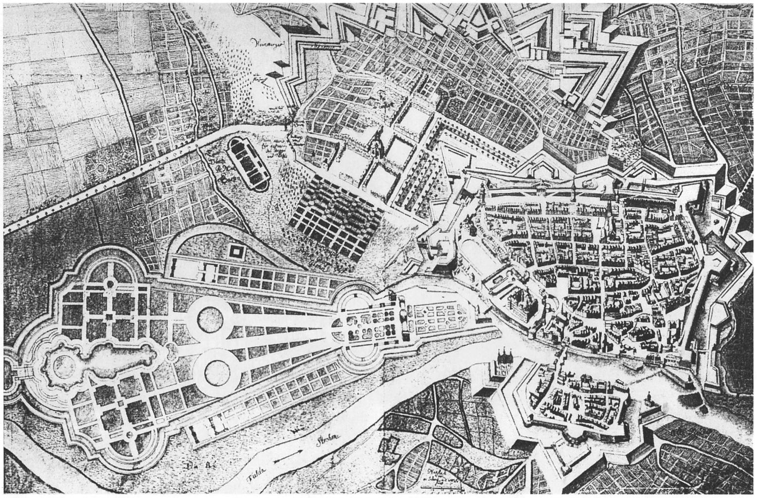
Related Images


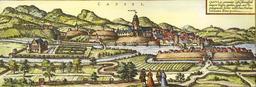


Download:
| Tiny | 194x128 | View | Download |
| Small | 389x256 | View | Download |
| Medium | 778x512 | View | Download |
| Original | 1462x962 | View | Download |
This image was acquired from
wikimedia. It was marked as Public Domain or CC0 and is free to use. To verify, go to the source and check the information there.
Looking for more info about this image?
Try a Google Reverse Image Search for it.
Try a Google Reverse Image Search for it.
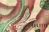
Keywords from Image Description:
Roth Kassel map . de Kassel Obere Neustadt Weinberg und Karlsaue own scan of reproduction Carl Friedrich Roth PDold Historic maps of Kassel Weinberg Kassel