
Related Images


This image was acquired from
wikimedia. It was marked as Public Domain or CC0 and is free to use. To verify, go to the source and check the information there.
Looking for more info about this image?
Try a Google Reverse Image Search for it.
Try a Google Reverse Image Search for it.
Keywords from Image Description:
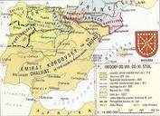
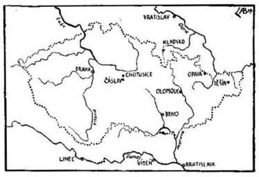
Rozsah eskho sttu od polovice XVIII. stolet do svtov vlky. cs Mapa rozsahu eskho sttu zem Koruny esk od poloviny stolet do prvn svtov vlky en Map showing Czech state from the half of the th century to the First World War Lands of the Bohemian Crown being part of the Austrian Empire and later on AustriaHungary the state formation