Download:
| Tiny | 53x128 | View | Download |
| Small | 107x256 | View | Download |
| Medium | 215x512 | View | Download |
| Large | 430x1024 | View | Download |
| Original | 600x1428 | View | Download |
This image was acquired from
wikimedia. It was marked as Public Domain or CC0 and is free to use. To verify, go to the source and check the information there.
Looking for more info about this image?
Try a Google Reverse Image Search for it.
Try a Google Reverse Image Search for it.
Keywords from Image Description:
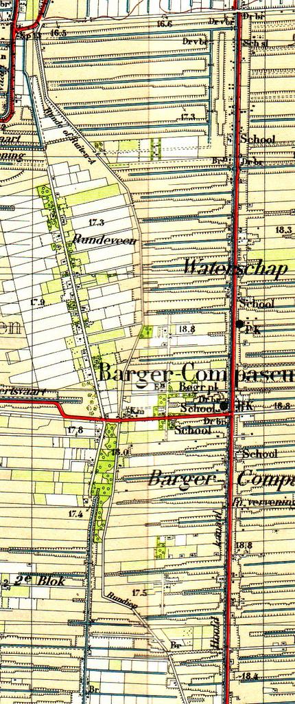
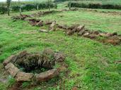
Runde op topokaart . en Topografical map from rudiments of the brook Runde at the westside of Barger Compascuum in nl Fragment van de topografische kaart uit met daarop de restanten van de Runde westelijk van Barger Compascuum in De Runde lijkt daarop aan te zijn gegeven als een droge bedding Topografische kaart nr Roswinkel
