
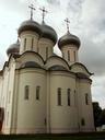
Related Images
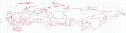
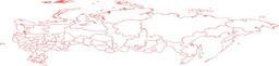
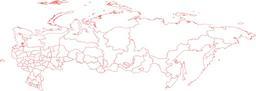
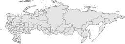


Download:
| Tiny | 304x128 | View | Download |
| Small | 608x256 | View | Download |
| Medium | 1216x512 | View | Download |
| Large | 2433x1024 | View | Download |
| Original png | 6269x2638 | View | Download |
| Original as jpg | 6269x2638 | View | Download |
This image was acquired from
wikimedia. It was marked as Public Domain or CC0 and is free to use. To verify, go to the source and check the information there.
Looking for more info about this image?
Try a Google Reverse Image Search for it.
Try a Google Reverse Image Search for it.
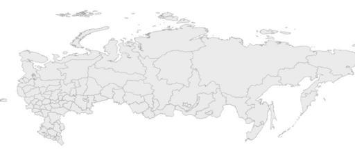
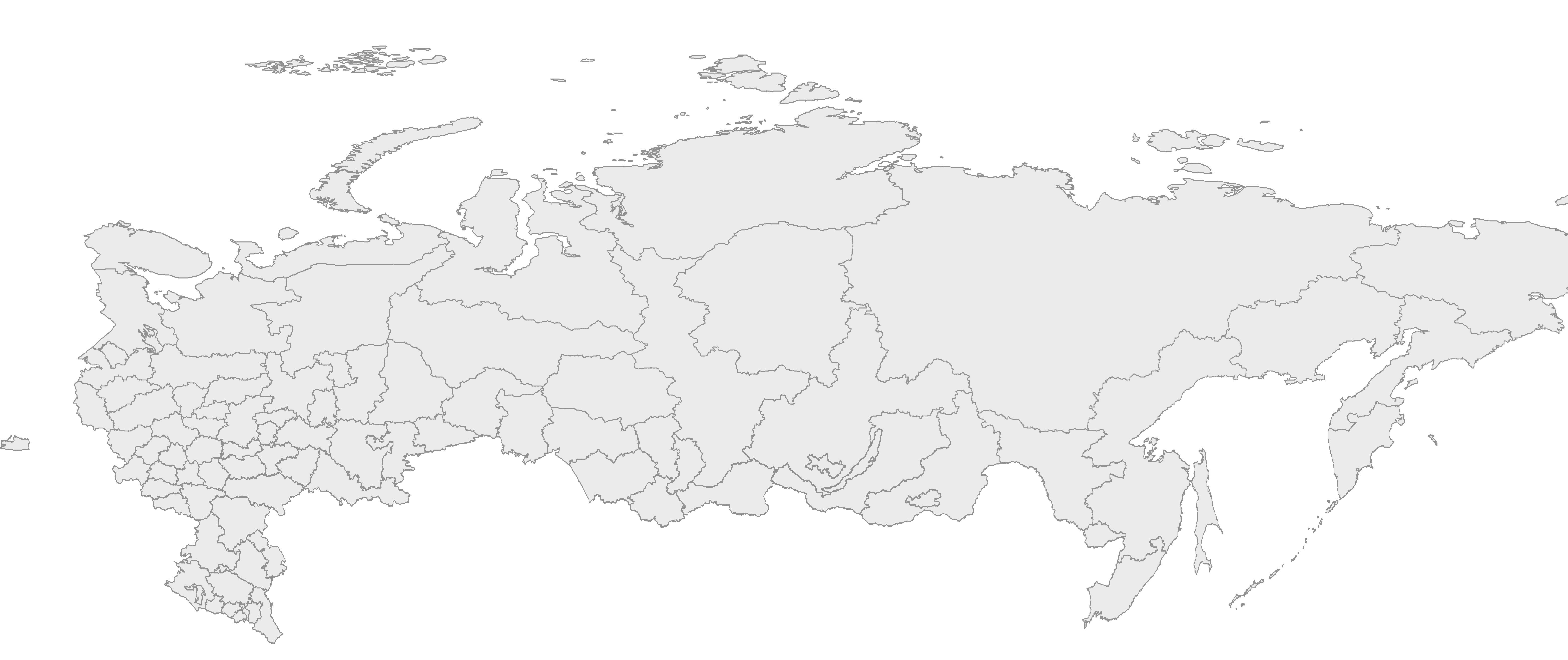
Keywords from Image Description:
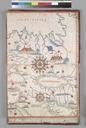
RussiaequirectangEast. en Map of Russia with st level administrative boundaries originally in the equirectangular projection equidistant cylindrical projection or plate carre but streched vetically times for better appearance user Mareklug own made on the base of image Russiaequirectang Locator maps of Russia