
Related Images


Download:
| Tiny | 199x128 | View | Download |
| Small | 399x256 | View | Download |
| Medium | 799x512 | View | Download |
| Original png | 881x564 | View | Download |
| Original as jpg | 881x564 | View | Download |
This image was acquired from
wikimedia. It was marked as Public Domain or CC0 and is free to use. To verify, go to the source and check the information there.
Looking for more info about this image?
Try a Google Reverse Image Search for it.
Try a Google Reverse Image Search for it.
Keywords from Image Description:
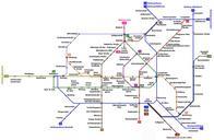
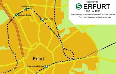
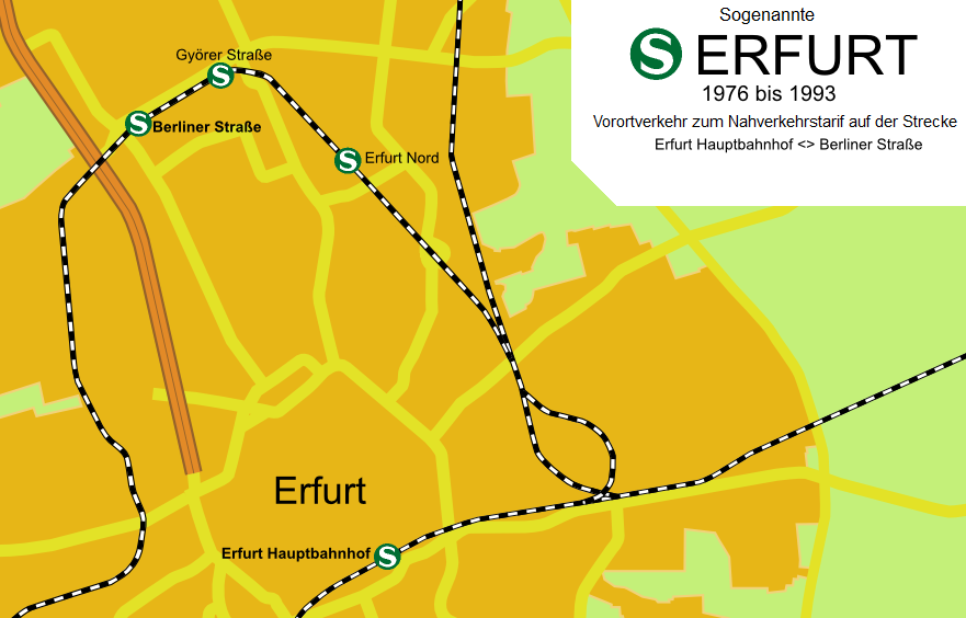
SBahn Erfurt topografisch Korrektur. de Korrigierte Variante der topografischen Karte des Streckenverlaufs der sogenannten de SBahn Erfurt eines Vorortverkehrs zum Nahverkehrstarif Zwischen und verkehrten die Zge in der Hauptverkehrszeit zwischen Erfurt Hbf und dem Haltepunkt Berliner Strae zwecks Anbindung der rtlichen Growohnsiedlung