
Related Images


Download:
| Tiny | 72x128 | View | Download |
| Small | 144x256 | View | Download |
| Medium | 288x512 | View | Download |
| Original png | 509x903 | View | Download |
| Original as jpg | 509x903 | View | Download |
This image was acquired from
wikimedia. It was marked as Public Domain or CC0 and is free to use. To verify, go to the source and check the information there.
Looking for more info about this image?
Try a Google Reverse Image Search for it.
Try a Google Reverse Image Search for it.
Keywords from Image Description:
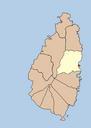
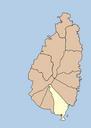
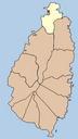
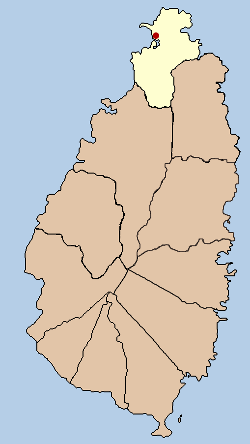
Santa lucia gros islet political. this is political map showing the quarter of Gros Islet on the island nation of Santa Lucia created it myself by using the GIMP to trace lib utexas edu public domain map that found at the PerryCastaeda Library Map Collection own assumed Doviendecommons Maps of Saint Lucia SaintLuciadistrictofGrosIslet