Related Images


Download:
| Tiny | 156x128 | View | Download |
| Small | 312x256 | View | Download |
| Medium | 624x512 | View | Download |
| Original | 1024x840 | View | Download |
This image was acquired from
wikimedia. It was marked as Public Domain or CC0 and is free to use. To verify, go to the source and check the information there.
Looking for more info about this image?
Try a Google Reverse Image Search for it.
Try a Google Reverse Image Search for it.
Keywords from Image Description:
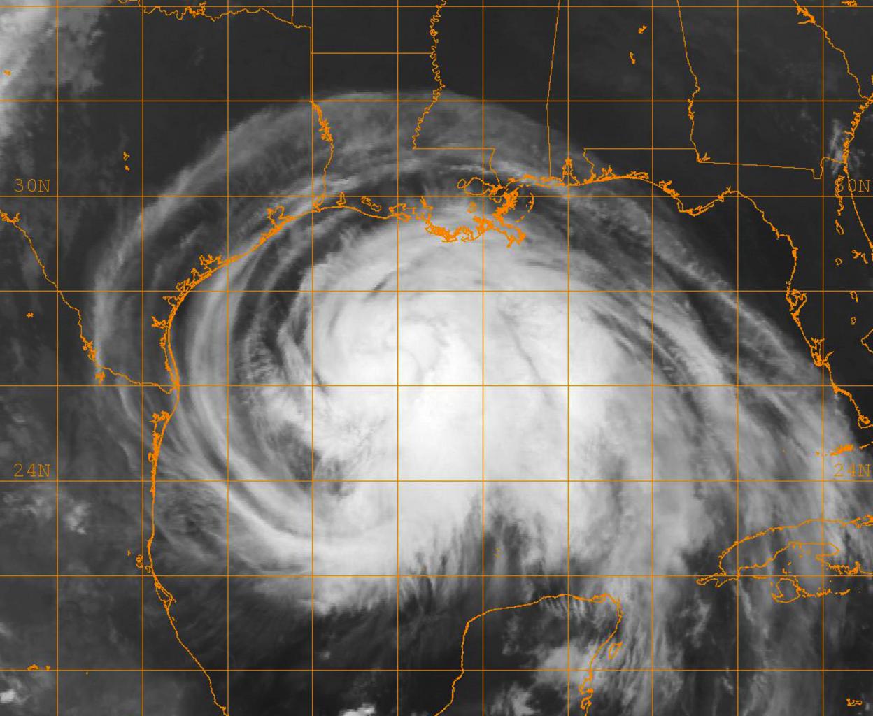
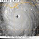
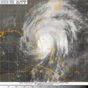
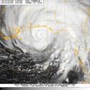
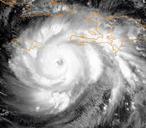
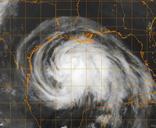
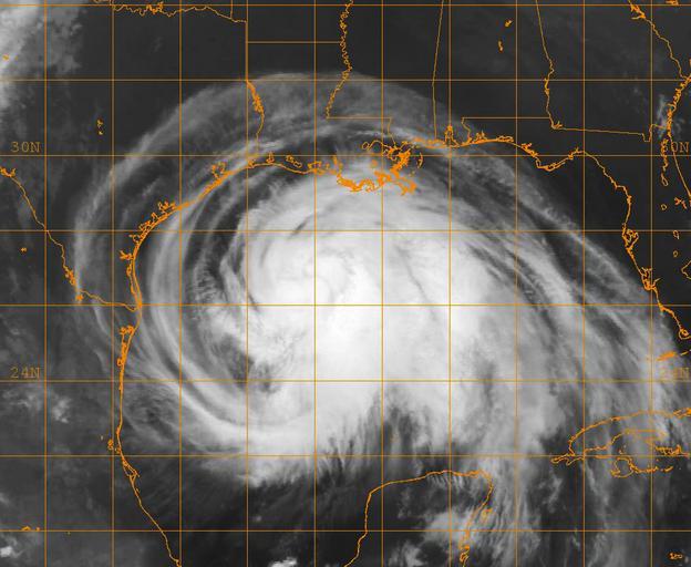
Satellite Image of Hurricane Ike DVIDS. en GOES infrared satellite image provided by the Naval Research Laboratory in Monterey Calif shows the status of Hurricane Ike at approximately EST Friday Sept Ike has maximum sustained winds of mph and forward movement of about mph Ike is expected to strike near Galveston Texas as major