
Related Images


Download:
| Tiny | 111x128 | View | Download |
| Small | 223x256 | View | Download |
| Medium | 446x512 | View | Download |
| Original | 615x706 | View | Download |
This image was acquired from
wikimedia. It was marked as Public Domain or CC0 and is free to use. To verify, go to the source and check the information there.
Looking for more info about this image?
Try a Google Reverse Image Search for it.
Try a Google Reverse Image Search for it.
Keywords from Image Description:
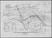
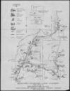
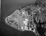
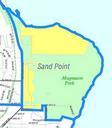
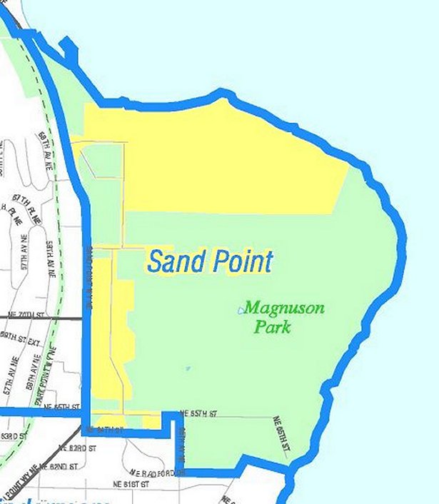
Seattle Sand Point map. Map of Seattle's Sand Point neighborhood including Magnuson Park Like the other maps from the Seattle City Clerk's Neighborhood Map Atlas this is not an official map in particular borders are not official Seattle Neighborhood Atlas disclaimer ci seattle wa us htm Sand Point map ci seattle wa us NNL from