Related Images


Download:
| Tiny | 171x128 | View | Download |
| Small | 343x256 | View | Download |
| Medium | 687x512 | View | Download |
| Original | 816x608 | View | Download |
This image was acquired from
wikimedia. It was marked as Public Domain or CC0 and is free to use. To verify, go to the source and check the information there.
Looking for more info about this image?
Try a Google Reverse Image Search for it.
Try a Google Reverse Image Search for it.
Keywords from Image Description:
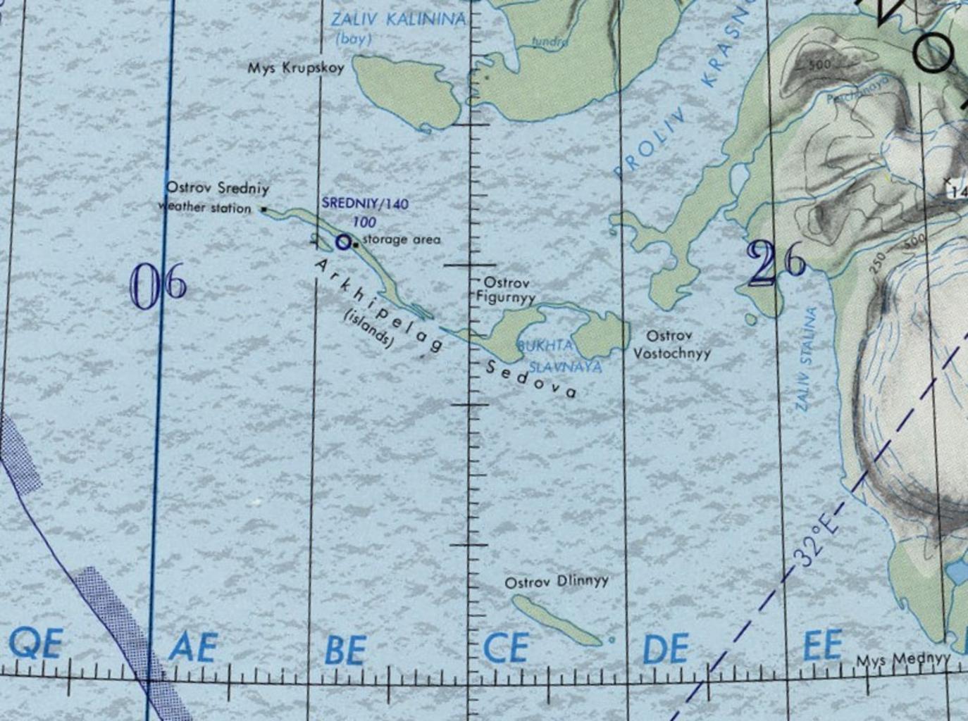
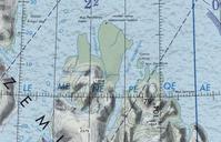
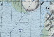
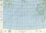
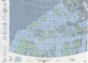
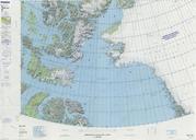
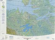
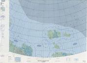
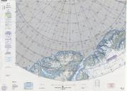
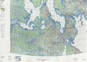
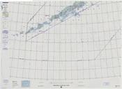
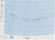
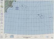
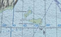
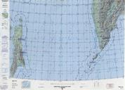
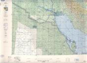
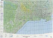
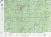
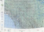
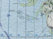
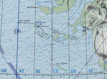
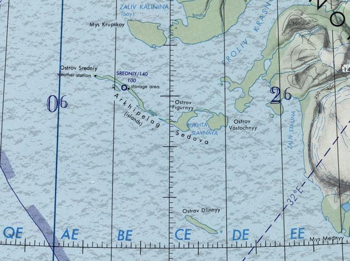
Sedov IslandsOperational Navigation Chart nd edition. en Sedov Islands Section of scale Operational Navigation Chart Sheet nd edition org OperationalNavigationChartB ndedition Defense Mapping Agency Aerospace Center St Louis Air Force Station Mo other versions PDUSGov Islands of Severnaya Zemlya Maps of the Kara Sea