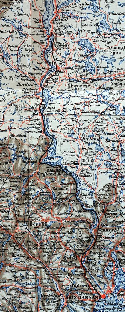
Related Images
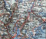

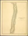

Download:
| Tiny | 51x128 | View | Download |
| Small | 102x256 | View | Download |
| Medium | 205x512 | View | Download |
| Large | 411x1024 | View | Download |
| Original | 584x1452 | View | Download |
This image was acquired from
wikimedia. It was marked as Public Domain or CC0 and is free to use. To verify, go to the source and check the information there.
Looking for more info about this image?
Try a Google Reverse Image Search for it.
Try a Google Reverse Image Search for it.
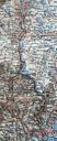
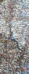
Keywords from Image Description:
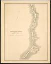
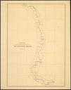
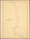
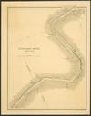
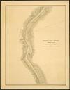
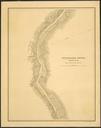
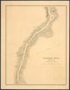
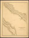
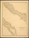
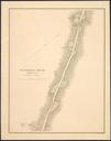
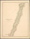
Setesdalsbanen map. Kart over Setesdalsbanen Kart over Lister og Mandals Amt sammensat efter Generalkart over det sydlige Norge ved Norges geografiske Opmaaling Mahlum PDold Setesdalsbanen Old maps of VestAgder Old maps of AustAgder Rail transport maps of Norway