
Related Images


Download:
| Tiny | 198x128 | View | Download |
| Small | 396x256 | View | Download |
| Medium | 792x512 | View | Download |
| Original | 929x600 | View | Download |
This image was acquired from
wikimedia. It was marked as Public Domain or CC0 and is free to use. To verify, go to the source and check the information there.
Looking for more info about this image?
Try a Google Reverse Image Search for it.
Try a Google Reverse Image Search for it.
Keywords from Image Description:
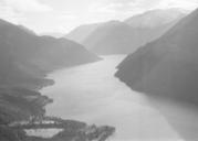
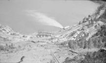
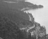
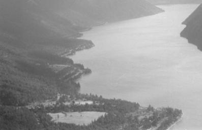
Shalalth planeviewcloseup. Bridge River Power Project townsite was being expanded out of view below frame All of the land in view on the left side of Seton Lake is Indian Reserve although on the near side of the point in the foreground which is the main part of Shalalth there were nonnative residences and businesses centred around