Related Images


Download:
| Tiny | 145x128 | View | Download |
| Small | 291x256 | View | Download |
| Medium | 582x512 | View | Download |
| Large | 1165x1024 | View | Download |
| Original tiff | 6180x5428 | View | Download |
| Original as jpg | 6180x5428 | View | Download |
This image was acquired from
wikimedia. It was marked as Public Domain or CC0 and is free to use. To verify, go to the source and check the information there.
Looking for more info about this image?
Try a Google Reverse Image Search for it.
Try a Google Reverse Image Search for it.
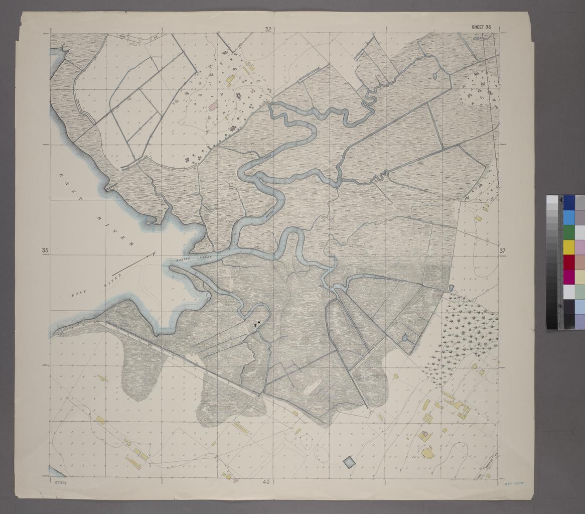
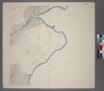
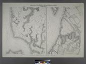
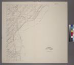
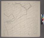
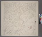
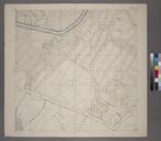
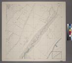
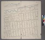
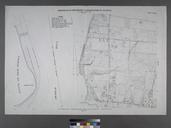
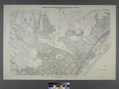
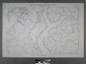
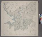
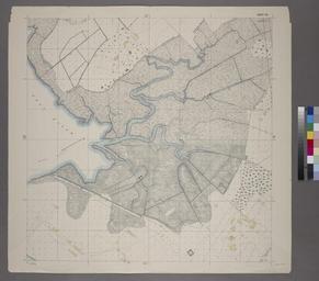
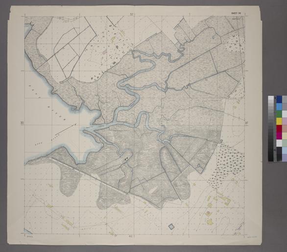
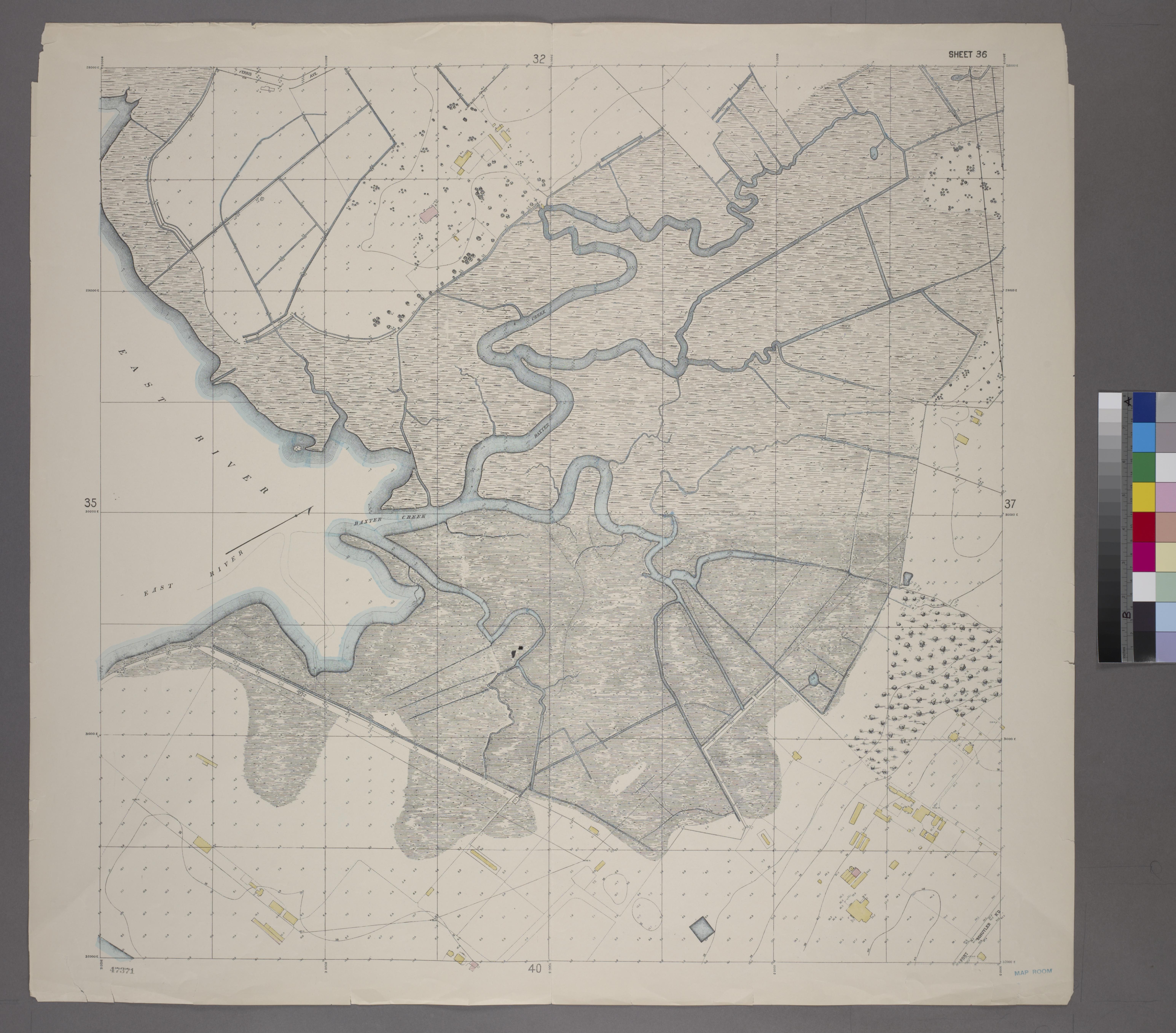
Keywords from Image Description:
Sheet Grid S. Includes Baxter Creek Estuary Ferry Point Park. NYPL. Sheet Grid Includes Baxter Creek Estuary Ferry Point Park Atlases of New York city Topographical survey sheets of the borough of the Bronx easterly of the Bronx River maps col cm index map Information field Location Stephen Schwarzman Building The Lionel