
Related Images


Download:
| Tiny | 106x128 | View | Download |
| Small | 213x256 | View | Download |
| Medium | 426x512 | View | Download |
| Large | 853x1024 | View | Download |
| Original tiff | 5248x6299 | View | Download |
| Original as jpg | 5248x6299 | View | Download |
This image was acquired from
wikimedia. It was marked as Public Domain or CC0 and is free to use. To verify, go to the source and check the information there.
Looking for more info about this image?
Try a Google Reverse Image Search for it.
Try a Google Reverse Image Search for it.
Keywords from Image Description:
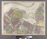
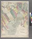
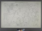
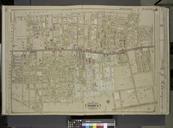
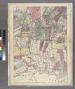
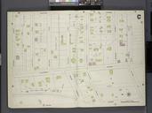
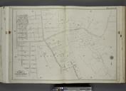
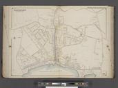
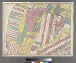
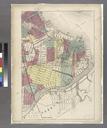
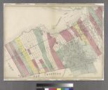
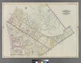
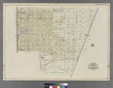
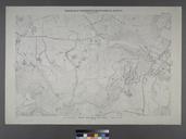
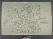
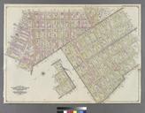
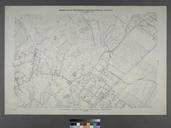
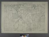
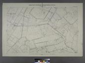
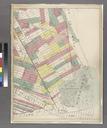
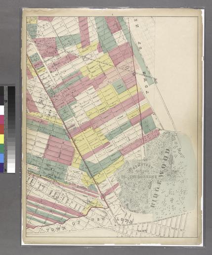
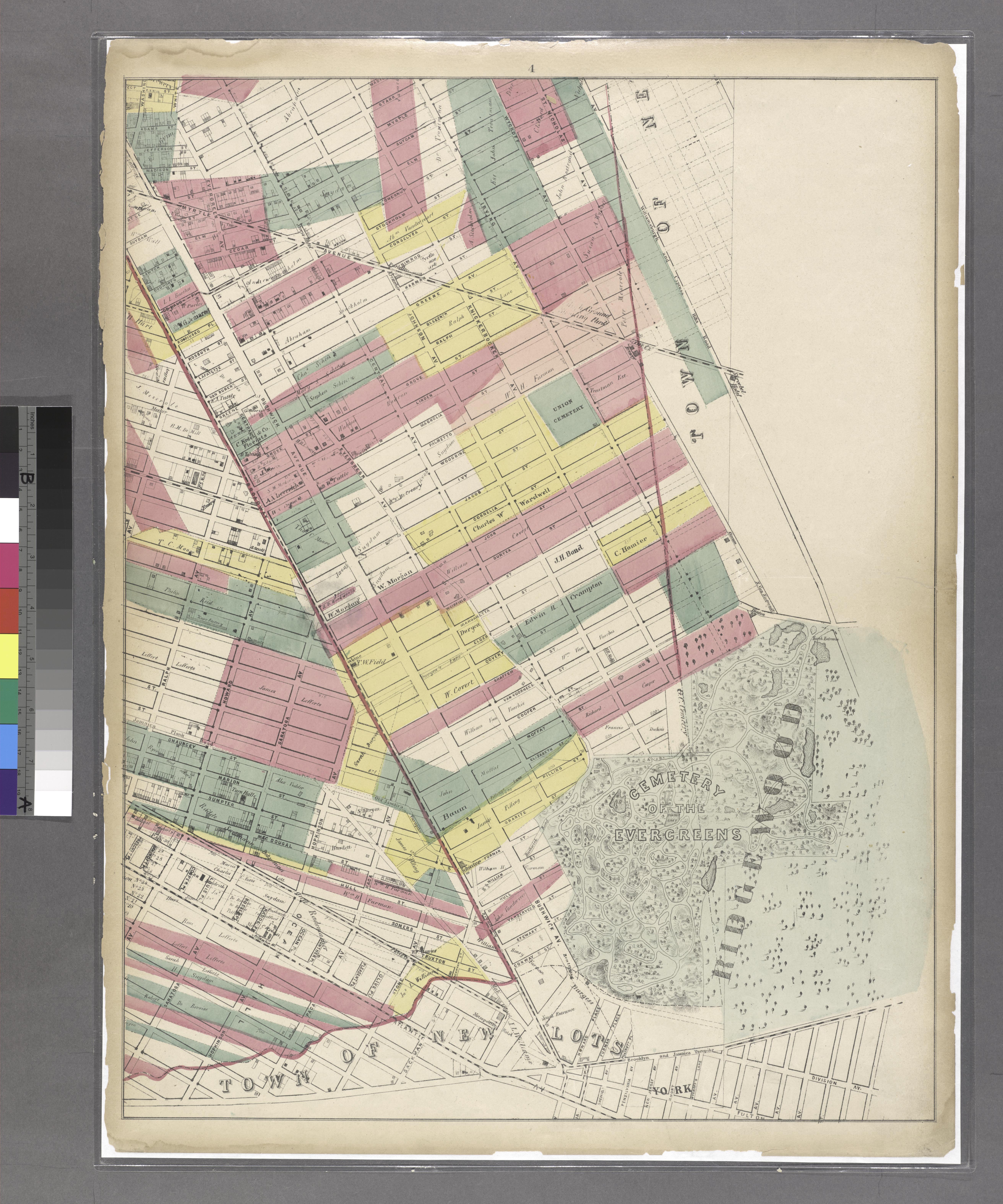
Sheet Map encompassing Ocean Hill Broasway Junction Bushwick and Ridgewood. NYPL. Sheet Map encompassing Ocean Hill Broasway Junction Bushwick and Ridgewood Atlases of New York city Map of the city of Brooklyn being the former cities of Brooklyn and Williamsburgh and the town of Bushwick as consolidated January st by an act