Related Images


Download:
| Tiny | 186x128 | View | Download |
| Small | 373x256 | View | Download |
| Medium | 746x512 | View | Download |
| Large | 1492x1024 | View | Download |
| Original | 3200x2196 | View | Download |
This image was acquired from
wikimedia. It was marked as Public Domain or CC0 and is free to use. To verify, go to the source and check the information there.
Looking for more info about this image?
Try a Google Reverse Image Search for it.
Try a Google Reverse Image Search for it.
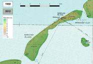
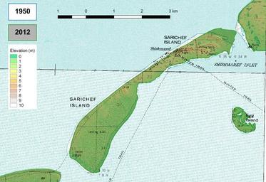
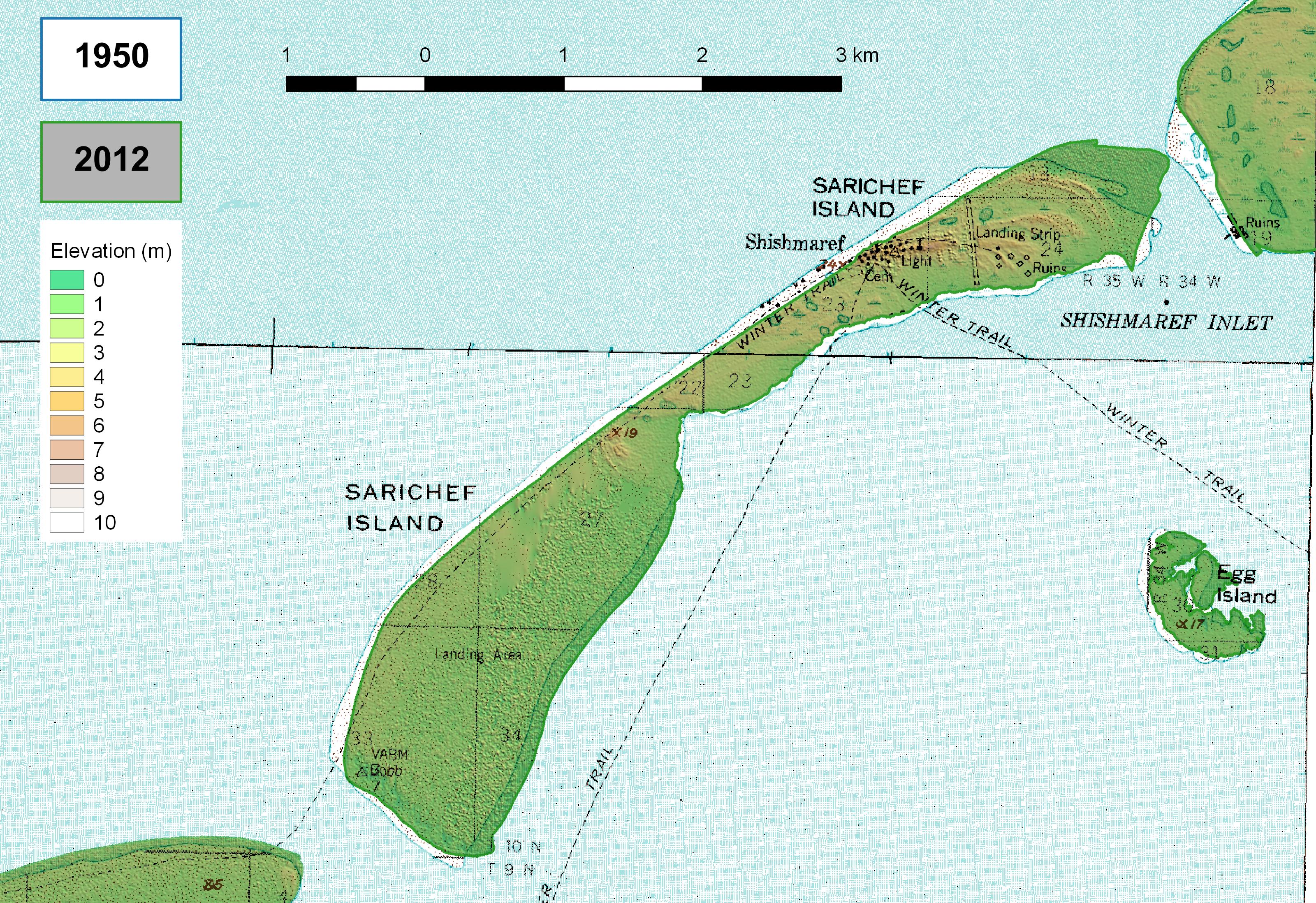
Keywords from Image Description:
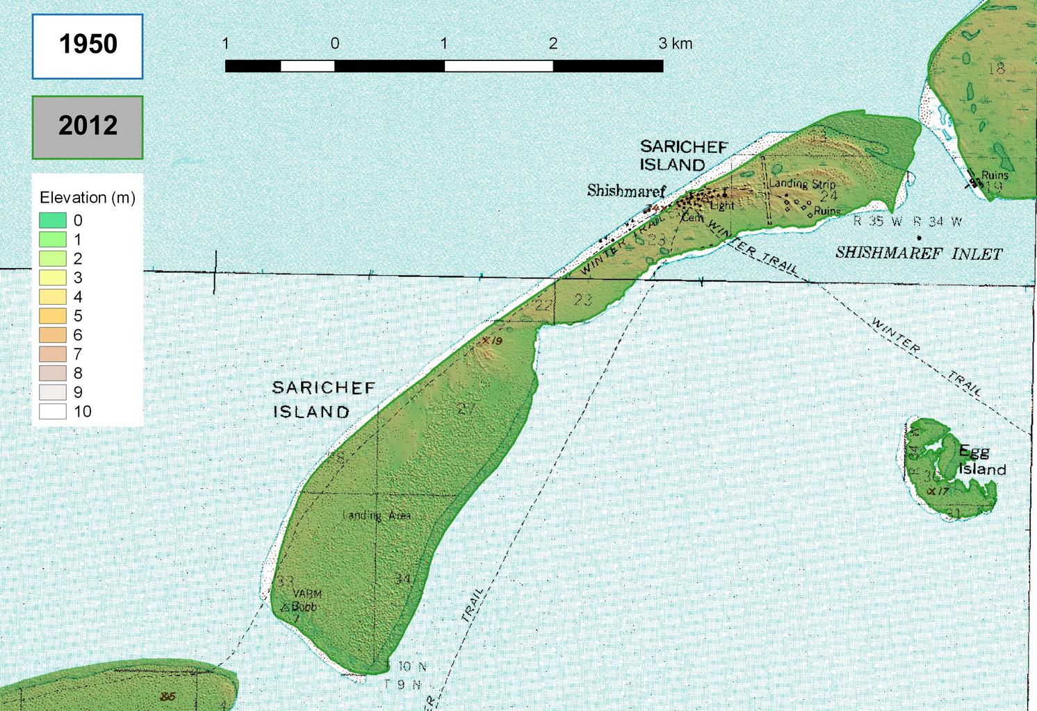
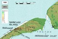
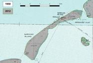
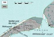
Shishmaref elev. nl Erosie en sedimentatie van Sarichef eiland in Alaska tussen en hoogtekaart en Erosion and sedimentation of Sarichef Island Alaska between and elevation map own Hans Erren other versions Coordinate Reference System EPSG NAD UTM Zone Lower left corner Upper right corner Source data Topomaps Shishmaref