Related Images


Download:
| Tiny | 94x128 | View | Download |
| Small | 188x256 | View | Download |
| Medium | 376x512 | View | Download |
| Large | 752x1024 | View | Download |
| Original tiff | 4272x5811 | View | Download |
| Original as jpg | 4272x5811 | View | Download |
This image was acquired from
wikimedia and nypl. It was marked as Public Domain or CC0 and is free to use. To verify, go to the source and check the information there.
Looking for more info about this image?
Try a Google Reverse Image Search for it.
Try a Google Reverse Image Search for it.
Keywords from Image Description:
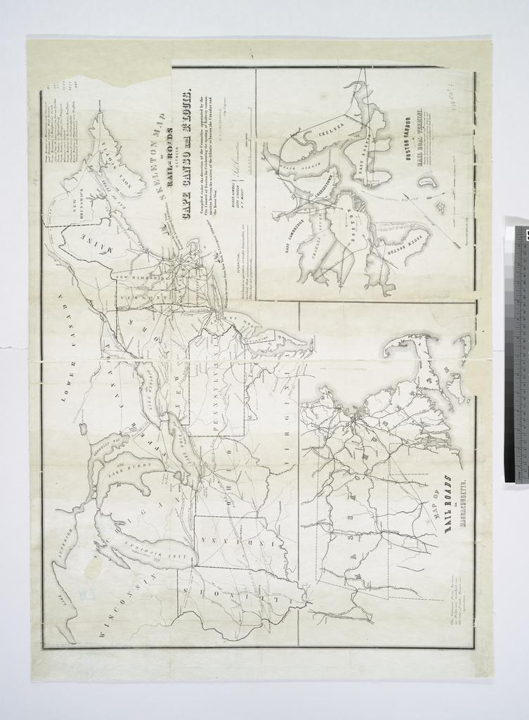
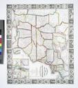
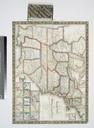
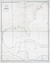
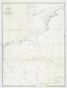
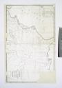
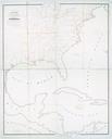
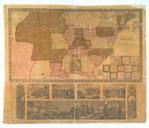
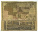
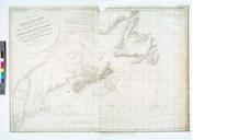
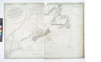
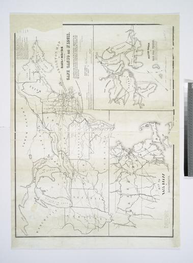
Skeleton map of railroads between Cape Canso and St. Louis compiled under the direction of the committee appointed by the City Council of Boston for celebrating the opening of railway NYPL. Skeleton map of railroads between Cape Canso and St Louis compiled under the direction of the committee appointed by the City Council of Boston