
Related Images


Download:
| Tiny | 76x128 | View | Download |
| Small | 152x256 | View | Download |
| Medium | 305x512 | View | Download |
| Large | 611x1024 | View | Download |
| Original | 614x1028 | View | Download |
This image was acquired from
wikimedia. It was marked as Public Domain or CC0 and is free to use. To verify, go to the source and check the information there.
Looking for more info about this image?
Try a Google Reverse Image Search for it.
Try a Google Reverse Image Search for it.
Keywords from Image Description:
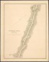
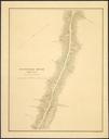
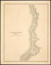
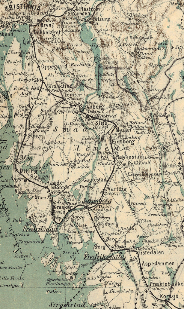
Smaalensbanen map . Kart over Smaalensbanen Kart over Smaalenenes Akershus Jarlsberg og Laurvigs Amter samt Dele af Bratsberg Budskerud Det private Opmaalings Kontor PDold Rail transport maps of Norway Old maps of stfold maps