
Related Images


Download:
| Tiny | 190x128 | View | Download |
| Small | 380x256 | View | Download |
| Medium | 760x512 | View | Download |
| Original | 1125x757 | View | Download |
This image was acquired from
wikimedia. It was marked as Public Domain or CC0 and is free to use. To verify, go to the source and check the information there.
Looking for more info about this image?
Try a Google Reverse Image Search for it.
Try a Google Reverse Image Search for it.
Keywords from Image Description:
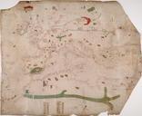
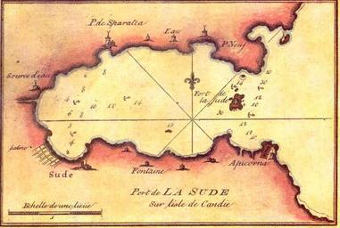
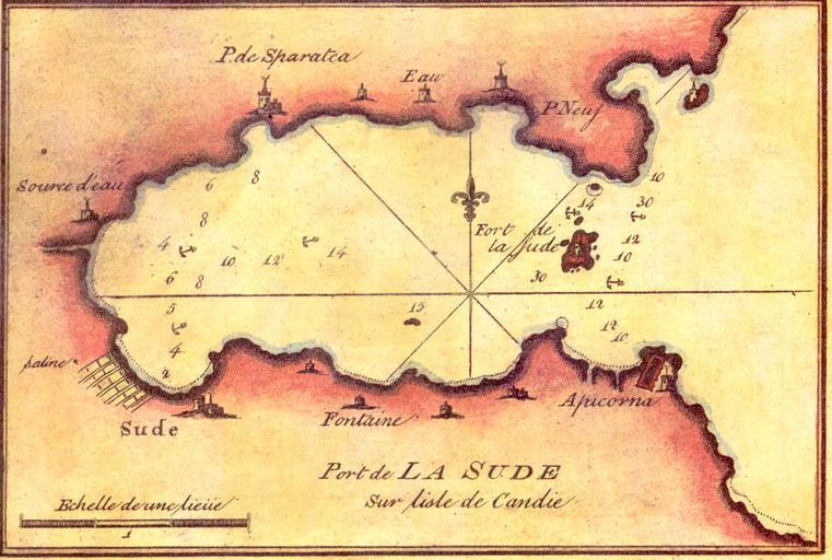
SoudaBay chart. en Old French chart of Souda Bay fr Port de La Sude Recueil des principaux plans des ports et rades de la mer Mediterrane Pl Copied from the website of the Hellenic Navy hellenicnavy gr Joseph Roux Hidrographe du Roi PDold Old nautical charts Souda Bay Maps of Chania