
Related Images

Download:
| Tiny | 147x128 | View | Download |
| Small | 294x256 | View | Download |
| Medium | 588x512 | View | Download |
| Original svg | 1072x933 | View | Download |
| Original as jpg | 1072x933 | View | Download |
This image was acquired from
wikimedia. It was marked as Public Domain or CC0 and is free to use. To verify, go to the source and check the information there.
Looking for more info about this image?
Try a Google Reverse Image Search for it.
Try a Google Reverse Image Search for it.
Keywords from Image Description:
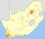
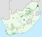
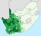
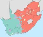
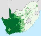
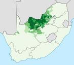
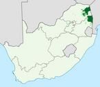
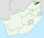
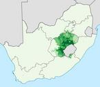
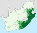
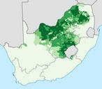
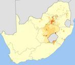
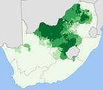
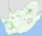
South Africa Census main places blank.svg en Map of South Africa divided into Main Places from Census Each main place is represented by an SVG with id set to the MPID to allow easy colouring of the map Projection is Albers EqualArea Conic with standard parallels at and and origin at Statistics South Africa's Census is the